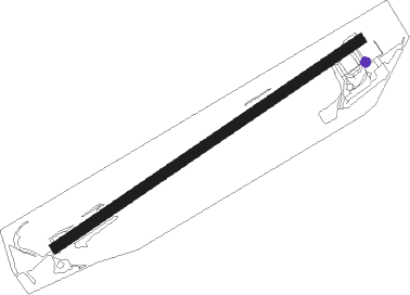
Ørsta - Orsta-volda Hovden
Airport details
| Country | Norway |
| State | Møre og Romsdal |
| Region | EN |
| Airspace | Polaris Ctr |
| Municipality | Ørsta |
| Elevation | 243ft (74m) |
| Timezone | GMT +1 |
| Coordinates | 62.18000, 6.07417 |
| Magnetic var | |
| Type | land |
| Available since | X-Plane v10.40 |
| ICAO code | ENOV |
| IATA code | HOV |
| FAA code | n/a |
Communication
| Orsta-Volda Hovden AFIS | 118.900 |
Approach frequencies
| LOC | RW06 | 111.5 | 18.00mi |
Nearby beacons
| code | identifier | dist | bearing | frequency |
|---|---|---|---|---|
| HN | HOVDEN NDB | 1.7 | 252° | 389 |
| BVK | BAATVIK NDB | 8.2 | 283° | 362 |
| STG | STEGEN NDB | 20.8 | 137° | 369 |
| AD | ANDA NDB | 21 | 173° | 288 |
| VIG | VIGRA VOR/DME | 22.3 | 354° | 115.80 |
| TAT | TAUTRA (MOLDE) NDB | 37.9 | 59° | 393 |
| BL | BRINGELAND NDB | 48.2 | 202° | 374 |
Departure and arrival routes
| Transition altitude | 7000ft |
| SID end points | distance | outbound heading | |
|---|---|---|---|
| ALL | |||
| EVNA2C | 43mi | 128° | |
| VIG2C | 22mi | 354° | |
| STAR starting points | distance | inbound heading | |
|---|---|---|---|
| ALL | |||
| TUMI1N, TUMI1P | 27.6 | 18° | |
| OBIT1P, OBIT2N | 36.8 | 278° | |
Instrument approach procedures
| runway | airway (heading) | route (dist, bearing) |
|---|---|---|
| RWNVA | KOKIS (274°) | KOKIS 7000ft OV411 (5mi, 236°) 6900ft |
| RWNVA | NIKUD (297°) | NIKUD 7000ft OV411 (5mi, 56°) 6900ft |
| RWNVA | OSLOS (284°) | OSLOS 9000ft OV411 (5mi, 288°) 6900ft |
| RNAV | OV411 6900ft OV412 (4mi, 288°) 6000ft OV413 (9mi, 288°) 2310ft OV414 (5mi, 260°) BVK (7mi, 294°) 4600ft BVK (turn) 4600ft |
Holding patterns
| STAR name | hold at | type | turn | heading* | altitude | leg | speed limit |
|---|---|---|---|---|---|---|---|
| OBIT1P | OBITI | VHF | left | 130 (310)° | > 14000ft | 1.0min timed | ICAO rules |
| OBIT2N | OBITI | VHF | left | 130 (310)° | > 14000ft | 1.0min timed | ICAO rules |
| TUMI1N | TUMIM | VHF | right | 191 (11)° | > 14000ft | 1.0min timed | ICAO rules |
| TUMI1P | TUMIM | VHF | right | 191 (11)° | > 14000ft | 1.0min timed | ICAO rules |
| *) magnetic outbound (inbound) holding course | |||||||
Disclaimer
The information on this website is not for real aviation. Use this data with the X-Plane flight simulator only! Data taken with kind consent from X-Plane 12 source code and data files. Content is subject to change without notice.
