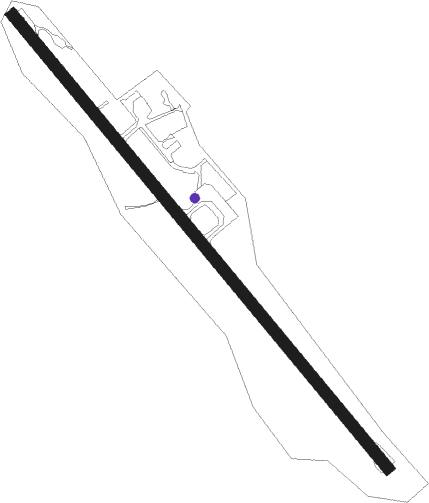
Leirvik - Stord Sorstokken
Airport details
| Country | Norway |
| State | Hordaland |
| Region | EN |
| Airspace | Polaris Ctr |
| Municipality | Stord |
| Elevation | 161ft (49m) |
| Timezone | GMT +1 |
| Coordinates | 59.79278, 5.33972 |
| Magnetic var | |
| Type | land |
| Available since | X-Plane v10.40 |
| ICAO code | ENSO |
| IATA code | SRP |
| FAA code | n/a |
Communication
| Stord Sorstokken AFIS | 120.200 |
Approach frequencies
| LOC | RW14 | 110.1 | 18.00mi |
Nearby beacons
| code | identifier | dist | bearing | frequency |
|---|---|---|---|---|
| STD | STORD VOR/DME | 0.3 | 141° | 113.40 |
| KRM | KARMOY (HAUGESUND) VOR/DME | 27.1 | 197° | 115.15 |
| FLE | FLESLAND TACAN | 30.6 | 346° | 114.50 |
| FLS | FLESLAND VOR/DME | 31.3 | 346° | 115.55 |
| VOO | VOLLO VOR/DME | 45.8 | 344° | 114.85 |
| SOA | SOLA TACAN | 55.8 | 162° | 112.25 |
| ZOL | SOLA VOR/DME | 55.8 | 162° | 116.85 |
Departure and arrival routes
| Transition altitude | 7000ft |
| SID end points | distance | outbound heading | |
|---|---|---|---|
| RW14 | |||
| TINI2A | 33mi | 78° | |
| RW32 | |||
| TINI2B | 33mi | 78° | |
| STAR starting points | distance | inbound heading | |
|---|---|---|---|
| RW14 | |||
| REVT1L | 31.1 | 266° | |
| RW32 | |||
| REVT1M | 31.1 | 266° | |
Instrument approach procedures
| runway | airway (heading) | route (dist, bearing) |
|---|---|---|
| RW14 | DUNGA (125°) | DUNGA 4000ft UBUSI (3mi, 125°) 2600ft |
| RW14 | NATGA (166°) | NATGA 4000ft UBUSI (5mi, 250°) 2600ft |
| RW14 | NATNI (104°) | NATNI 4000ft UBUSI (5mi, 70°) 2600ft |
| RNAV | UBUSI 2600ft SO401 (3mi, 125°) 2000ft ENSO (6mi, 125°) 204ft SO571 (10mi, 126°) NATNI (20mi, 293°) 4000ft NATNI (turn) 4000ft | |
| RW32 | ARVOG (286°) | ARVOG 4500ft GISAS (5mi, 250°) 3100ft |
| RW32 | ODAKU (342°) | ODAKU 4000ft GISAS (5mi, 70°) 3100ft |
| RW32 | OLOSI (306°) | OLOSI 4200ft GISAS (3mi, 306°) 3100ft |
| RNAV | GISAS 3100ft BIGSO (4mi, 306°) 2300ft ENSO (6mi, 306°) 202ft SO570 (8mi, 305°) ODAKU (19mi, 145°) 4000ft ODAKU (turn) 4000ft |
Holding patterns
| STAR name | hold at | type | turn | heading* | altitude | leg | speed limit |
|---|---|---|---|---|---|---|---|
| REVT1L | NATGA | VHF | right | 53 (233)° | > 4000ft | 1.0min timed | ICAO rules |
| REVT1L | REVTA | VHF | left | 73 (253)° | > 10000ft | 1.0min timed | 180 |
| REVT1M | ARVOG | VHF | left | 53 (233)° | > 4500ft | 1.0min timed | 180 |
| REVT1M | REVTA | VHF | left | 73 (253)° | > 10000ft | 1.0min timed | 180 |
| *) magnetic outbound (inbound) holding course | |||||||
Disclaimer
The information on this website is not for real aviation. Use this data with the X-Plane flight simulator only! Data taken with kind consent from X-Plane 12 source code and data files. Content is subject to change without notice.
