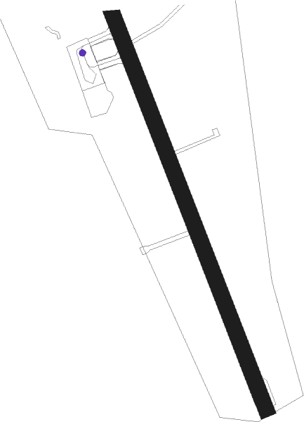
Vardø - Svartnes
Airport details
| Country | Norway |
| State | Finnmark |
| Region | EN |
| Airspace | Polaris Ctr |
| Municipality | Vardø |
| Elevation | 41ft (12m) |
| Timezone | GMT +1 |
| Coordinates | 70.35557, 31.04201 |
| Magnetic var | |
| Type | land |
| Available since | X-Plane v10.40 |
| ICAO code | ENSS |
| IATA code | VAW |
| FAA code | n/a |
Communication
| Svartnes VARDO INFO | 122.150 |
Nearby beacons
| code | identifier | dist | bearing | frequency |
|---|---|---|---|---|
| VRD | VARDO VOR/DME | 0.1 | 68° | 114.10 |
Instrument approach procedures
| runway | airway (heading) | route (dist, bearing) |
|---|---|---|
| RW15 | NILIP (108°) | NILIP 4000ft AGLOB (5mi, 84°) 2500ft |
| RNAV | AGLOB 2500ft SS806 (4mi, 138°) 2000ft ENSS (5mi, 139°) 92ft SS810 (9mi, 138°) NILIP (18mi, 298°) NILIP (turn) 4000ft | |
| RW33-Y | GAMKI (13°) | GAMKI 4000ft SS608 (5mi, 76°) 4000ft |
| RNAV | SS608 4000ft SS607 (5mi, 319°) 2000ft SS609 (3mi, 318°) 758ft SS611 (10mi, 318°) GAMKI (21mi, 169°) GAMKI (turn) 4000ft | |
| RW33-Z | GAMKI (13°) | GAMKI 4000ft SS608 (5mi, 76°) 4000ft |
| RNAV | SS608 4000ft SS607 (5mi, 319°) 2000ft ENSS (5mi, 317°) 74ft SS611 (8mi, 319°) GAMKI (21mi, 169°) GAMKI (turn) 4000ft |
Disclaimer
The information on this website is not for real aviation. Use this data with the X-Plane flight simulator only! Data taken with kind consent from X-Plane 12 source code and data files. Content is subject to change without notice.