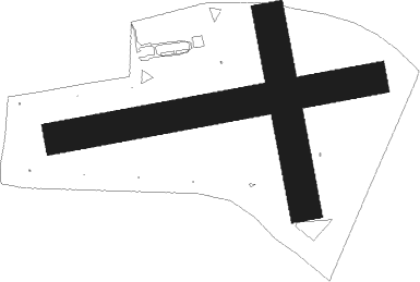
Włocławek - Wloclawek Kruszyn
Airport details
| Country | Poland |
| State | Kuyavian-Pomeranian Voivodeship |
| Region | EP |
| Airspace | Warsaw Ctr |
| Municipality | Kruszyn |
| Elevation | 214ft (65m) |
| Timezone | GMT +1 |
| Coordinates | 52.58462, 19.01550 |
| Magnetic var | |
| Type | land |
| Available since | X-Plane v10.40 |
| ICAO code | EPWK |
| IATA code | n/a |
| FAA code | n/a |
Communication
| Wloclawek Kruszyn Kruszyn RADIO | 122.400 |
Nearby Points of Interest:
Saint Stanislaus church in Brześć Kujawski
-Brześć Kujawski Town Hall
-Kościół św. Michała Archanioła w Brześciu Kujawskim
-12 Kościuszki Street in Włocławek
-Saint John the Baptist church in Włocławek
-Bishops Palace in Włocławek
-Manor in Borucinek
-Manor in Kłóbka
-Saint Matthew church in Bądkowo
-Church of the Pokrov in Osięciny
-Bobrowniki castle
-Kościół św. Doroty w Orlem
-Kościół świętych Stanisława i Marii Magdaleny w Przypuście
-Kościół Znalezienia Krzyża Świętego w Nieszawie
-Nieszawa town hall
-Przedecz Town Hall
-Kościół św. Piotra i Pawła w Rokiciu
-Kościół Matki Boskiej Częstochowskiej w Mąkoszynie
-Palace in Nowy Duninów
-Kościół św. Józefa w Zakrzewie
-Raciążek Castle
-Kościół św. Wawrzyńca w Lubotyniu
-Saint Martin church in Straszewo
-Saint James church in Piotrków Kujawski
-Kościół św. Dominika w Bierzwiennej Długiej

Nearby beacons
| code | identifier | dist | bearing | frequency |
|---|---|---|---|---|
| PCK | DME | 21.5 | 77° | 117.65 |
| NRD | INOWROCLAW NDB | 28.3 | 292° | 444 |
| NR | INOWROCLAW NDB | 28.6 | 290° | 262 |
| TIR | INOWROCLAW TACAN | 28.9 | 289° | 109.25 |
| TLY | LECZYCA TACAN | 35.3 | 168° | 110.10 |
| NW | LECZYCA NDB | 35.6 | 164° | 520 |
| NWT | LECZYCA NDB | 36.3 | 161° | 385 |
| LOZ | WIACZYN DOLNY VOR/DME | 53.4 | 143° | 112.40 |
| GRU | GRUDZIADZ VOR/DME | 56.8 | 346° | 114.60 |
Disclaimer
The information on this website is not for real aviation. Use this data with the X-Plane flight simulator only! Data taken with kind consent from X-Plane 12 source code and data files. Content is subject to change without notice.