Karlstad
Airport details
| Country | Sweden |
| State | Värmlanda län |
| Region | ES |
| Airspace | Sweden Ctr |
| Municipality | Karlstads kommun |
| Elevation | 351ft (107m) |
| Timezone | GMT +1 |
| Coordinates | 59.44472, 13.33750 |
| Magnetic var | |
| Type | land |
| Available since | X-Plane v10.40 |
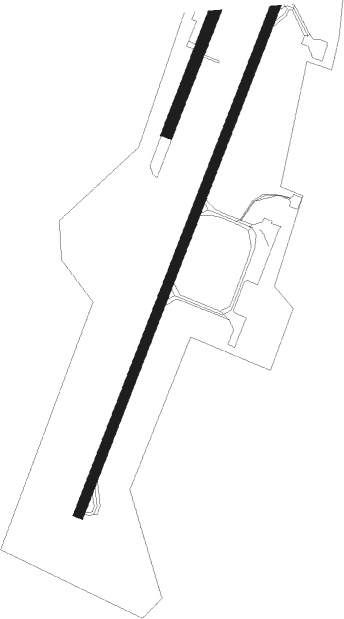
| ICAO code | ESOK |
| IATA code | KSD |
| FAA code | n/a |
Communication
| Karlstad Tower | 119.450 |
| Karlstad Dep | 119.450 |
Approach frequencies
| ILS-cat-I | RW21 | 110.7 | 18.00mi |
| ILS-cat-I | RW03 | 109.35 | 18.00mi |
| 3° GS | RW21 | 110.7 | 18.00mi |
| 3° GS | RW03 | 109.35 | 18.00mi |
Nearby Points of Interest:
Grava socken
-Höglunda
-Nors socken
-Stora Kil 1:1
-Stora Kils socken
-Västerstrandskyrkan
-Segerstads socken
-Sugar Castle
-Norrstrandskyrkan
-Biskopsgården, Karlstad
-Hypoteksföreningens hus
-Karlstad Town
-Frimurarelogen, Karlstad
-Wermlandsbanken
-Karlstads socken
-Herrhagskyrkan
-Polstjärnan
-Alster socken
-Gunneruds gård
-Alsters herrgård
-Hammarö socken
-Grums socken
-Frykeruds socken
-Nedre Ulleruds socken
-Boda socken

Nearby beacons
| code | identifier | dist | bearing | frequency |
|---|---|---|---|---|
| KSD | KARLSTAD VOR/DME | 0.2 | 249° | 117.80 |
| SKS | KARLSTAD NDB | 4.5 | 223° | 330 |
| NKS | KARLSTAD NDB | 5.8 | 43° | 341 |
| AB | HAGFORS NDB | 31.2 | 26° | 393 |
| TY | TORSBY NDB | 40.3 | 335° | 384 |
| HT | HAGFORS NDB | 40.5 | 19° | 345 |
| TH | TORSBY NDB | 50.8 | 332° | 402 |
| NS | SKOVDE NDB | 58.9 | 144° | 384 |
| LG | SATENAS NDB | 62.5 | 212° | 309 |
Departure and arrival routes
| Transition altitude | 5000ft |
| SID end points | distance | outbound heading | |
|---|---|---|---|
| RW03 | |||
| TESD4B | 32mi | 73° | |
| SIPS5B | 33mi | 216° | |
| RW21 | |||
| TESD4C | 32mi | 73° | |
| SIPS5C | 33mi | 216° | |
| STAR starting points | distance | inbound heading | |
|---|---|---|---|
| RW03 | |||
| SIPS1K, SIPS5E | 33.3 | 36° | |
| TESD1K, TESD5E | 32.2 | 253° | |
| RW21 | |||
| SIPS1L, SIPS5F | 33.3 | 36° | |
| TESD5F, TESD1L | 32.2 | 253° | |
Instrument approach procedures
| runway | airway (heading) | route (dist, bearing) |
|---|---|---|
| RW03 | OK711 (8°) | OK711 2500ft SOVAS (5mi, 284°) 2500ft |
| RW03 | OK712 (43°) | OK712 5000ft SOVAS (4mi, 43°) 2500ft |
| RW03 | OK713 (65°) | OK713 2500ft SOVAS (5mi, 104°) 2500ft |
| RNAV | SOVAS 2500ft OK710 (5mi, 43°) 2500ft ESOK (7mi, 43°) 383ft OK535 (6mi, 43°) OK714 (10mi, 223°) 2500ft OK714 (turn) 2500ft | |
| RW21 | OK521 (188°) | OK521 3300ft NATVI (5mi, 104°) 2500ft |
| RW21 | OK522 (224°) | OK522 3300ft NATVI (3mi, 224°) 2500ft |
| RW21 | OK523 (245°) | OK523 2500ft NATVI (5mi, 284°) 2500ft |
| RNAV | NATVI 2500ft OK520 (5mi, 224°) 2500ft ESOK (7mi, 223°) 403ft OK714 (5mi, 223°) OK535 (10mi, 43°) 2500ft OK535 (turn) 2500ft |
Disclaimer
The information on this website is not for real aviation. Use this data with the X-Plane flight simulator only! Data taken with kind consent from X-Plane 12 source code and data files. Content is subject to change without notice.