Hultsfred
Airport details
| Country | Sweden |
| State | Kalmar län |
| Region | ES |
| Airspace | Sweden Ctr |
| Municipality | Hultsfreds kommun |
| Elevation | 366ft (112m) |
| Timezone | GMT +1 |
| Coordinates | 57.52618, 15.82326 |
| Magnetic var | |
| Type | land |
| Available since | X-Plane v10.40 |
| ICAO code | ESSF |
| IATA code | HLF |
| FAA code | n/a |
Communication
| Hultsfred Hultsfred airport | 123.550 |
Nearby Points of Interest:
Lönneberga kyrka
-Lönneberga socken
-Vena socken
-Pelarne socken
-Vimmerby socken
-Vimmerby Town
-Vimmerby Church
-Målilla socken
-Gårdveda kapell
-Gårdveda socken
-Hässleby socken
-Hässleby sanatorium
-Tuna parish
-Järeda socken
-Tuna gård, Vimmerby Municipality
-Karlstorps socken
-Rumskulla socken
-Frödinge socken
-Frödinge kyrka
-Tveta kyrka
-Tveta socken
-Mörlunda kyrka
-Mörlunda socken
-Kråkshults socken
-Södra Vi socken
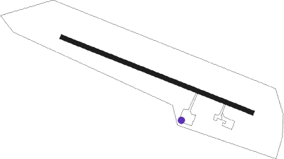
Runway info
| Runway 12 / 30 | ||
| length | 1942m (6371ft) | |
| bearing | 105° / 285° | |
| width | 40m (131ft) | |
| surface | concrete | |
| blast zone | 50m (164ft) / 0m (0ft) | |
Nearby beacons
| code | identifier | dist | bearing | frequency |
|---|---|---|---|---|
| VSN | VASSEN VOR/DME | 46.8 | 352° | 115.25 |
| KM | KALMAR NDB | 48.5 | 153° | 366 |
| LCF | MALMEN (LINKOPING) NDB | 49 | 336° | 285 |
| OL | SAAB (LINKOPING) NDB | 51.2 | 359° | 415 |
| KAL | KALMAR VOR/DME | 52.6 | 151° | 111.60 |
| SC | SAAB (LINKOPING) NDB | 55.1 | 343° | 300 |
Disclaimer
The information on this website is not for real aviation. Use this data with the X-Plane flight simulator only! Data taken with kind consent from X-Plane 12 source code and data files. Content is subject to change without notice.