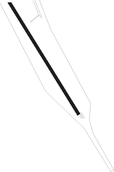
Hemavan Tärnaby
Airport details
| Country | Sweden |
| State | Västerbottens län |
| Region | ES |
| Airspace | Sweden Ctr |
| Municipality | Storumans kommun |
| Elevation | 1500ft (457m) |
| Timezone | GMT +1 |
| Coordinates | 65.80611, 15.08278 |
| Magnetic var | |
| Type | land |
| Available since | X-Plane v10.40 |
| ICAO code | ESUT |
| IATA code | HMV |
| FAA code | n/a |
Communication
| Hemavan Tärnaby AFIS | 122.975 |
Approach frequencies
| LOC | RW15 | 111.5 | 18.00mi |
| ILS-cat-I | RW33 | 110.1 | 18.00mi |
| 3° GS | RW33 | 110.1 | 18.00mi |
Nearby beacons
| code | identifier | dist | bearing | frequency |
|---|---|---|---|---|
| NUT | HEMAVAN NDB | 2 | 309° | 325 |
| SUT | HEMAVAN NDB | 6.4 | 129° | 342 |
| GR | GRUBEN (MO I RANA) NDB | 37.5 | 301° | 368 |
Instrument approach procedures
| runway | airway (heading) | route (dist, bearing) |
|---|---|---|
| RW15 | LENGO (110°) | LENGO 8300ft UT850 (5mi, 78°) 5800ft |
| RW15 | SIRVA (128°) | SIRVA 8300ft UT850 (5mi, 128°) 5800ft |
| RW15 | TAKOT (152°) | TAKOT 6900ft UT850 (4mi, 258°) 5800ft |
| RNAV | UT850 5800ft UT851 (4mi, 128°) 5510ft ESUT (10mi, 128°) 1553ft SUT (6mi, 129°) 5800ft SUT (turn) 5800ft | |
| RW33 | BALNU (309°) | BALNU 6300ft UT550 (5mi, 309°) 4500ft |
| RW33 | DOSIV (288°) | DOSIV 6900ft UT550 (5mi, 258°) 4500ft |
| RW33 | RILUG (352°) | RILUG 6400ft UT550 (5mi, 78°) 4500ft |
| RNAV | UT550 4500ft UT551 (5mi, 309°) 3500ft ESUT (6mi, 308°) 1553ft UT852 (2mi, 308°) UT853 (6mi, 258°) SUT (10mi, 102°) 5800ft SUT (turn) 5800ft |
Disclaimer
The information on this website is not for real aviation. Use this data with the X-Plane flight simulator only! Data taken with kind consent from X-Plane 12 source code and data files. Content is subject to change without notice.
