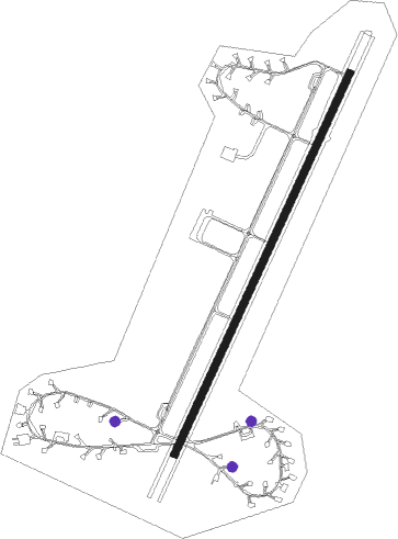
Buechel Ab
Airport details
| Country | Germany |
| State | Rhineland-Palatinate |
| Region | ED |
| Airspace | Langen Ctr |
| Municipality | Alflen |
| Elevation | 1565ft (477m) |
| Timezone | GMT +1 |
| Coordinates | 50.17385, 7.06336 |
| Magnetic var | |
| Type | land |
| Available since | X-Plane v10.40 |
| ICAO code | ETSB |
| IATA code | n/a |
| FAA code | n/a |
Communication
| Buechel AB Buechel Tower | 122.100 |
Nearby Points of Interest:
Kaulenbachtal
-Neuer jüdischer Friedhof (Cochem)
-Enderttor
-Jewish cemetery, Kaisersesch
-Alter jüdischer Friedhof
-Kaiser-Wilhelm-Tunnel
-Martin city gate
-Columbarium (Cochem)
-Jüdischer Friedhof
-Synagoge
-Römergrab von Nehren
-Synagoge Bruttig
-Bahnhof Darscheid
-Bergkapelle Alf
-Wohnturm Senheim
-Neuer jüdischer Friedhof
-Wegekreuz
-Hoher List Observatory
-Daun train station
-Kolliger Mühle
-Kriegerdenkmal Daun
-St. Servatius und Dorothea
-St. Lambertus (Steinborn)
-Jüdischer Friedhof Wierschem
-Amtsgericht Mayen
Nearby beacons
| code | identifier | dist | bearing | frequency |
|---|---|---|---|---|
| BUE | BUECHEL TACAN | 0.3 | 51° | 117.10 |
| HAN | HAHN NDB | 15 | 134° | 376 |
| FHH | DME | 15.8 | 140° | 117.35 |
| SPA | SPANGDAHLEM TACAN | 18.3 | 242° | 109.50 |
| LV | COLOGNE-BONN NDB | 38.4 | 16° | 327 |
| ELU | LUXEMBOURG NDB | 40.3 | 235° | 368 |
| DIK | DIEKIRCH NDB | 40.6 | 251° | 307 |
| KBO | COLOGNE-BONN VOR/DME | 41.4 | 7° | 112.15 |
| COL | COLA VOR/DME | 41.8 | 41° | 108.80 |
| NVO | NOERVENICH VORTAC | 42.2 | 327° | 116.20 |
| WNN | DME | 42.4 | 329° | 109.85 |
| LW | COLOGNE-BONN NDB | 44.1 | 15° | 300 |
| LE | LUXEMBOURG NDB | 44.9 | 237° | 318 |
| LUX | LUXEMBOURG VOR/DME | 45 | 237° | 112.25 |
| LJ | COLOGNE-BONN NDB | 45.2 | 360° | 365 |
| LW | LUXEMBOURG NDB | 48.1 | 238° | 404 |
| RMS | RAMSTEIN TACAN | 48.7 | 145° | 113.40 |
| WYP | WIPPER VOR | 53.1 | 14° | 109.60 |
| SAD | DME | 57.7 | 177° | 116.75 |
| SR | ENSHEIM (SAARBRUECKEN) NDB | 57.7 | 171° | 360 |
| ZWN | ZWEIBRUECKEN VOR/DME | 58.3 | 159° | 114.80 |
| MTZ | METZ NDB | 63.3 | 224° | 354 |
| GMH | GERMINGHAUSEN VOR/DME | 67.6 | 40° | 115.40 |
Disclaimer
The information on this website is not for real aviation. Use this data with the X-Plane flight simulator only! Data taken with kind consent from X-Plane 12 source code and data files. Content is subject to change without notice.