Barysiai
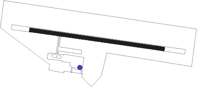
Airport details
| Country | Lithuania |
| State | Siauliai County |
| Region | EY |
| Airspace | Vilnius Ctr |
| Municipality | Gataučių seniūnija |
| Elevation | 270ft (82m) |
| Timezone | GMT +2 |
| Coordinates | 56.07056, 23.55806 |
| Magnetic var | |
| Type | land |
| Available since | X-Plane v10.40 |
| ICAO code | EYSB |
| IATA code | HLJ |
| FAA code | n/a |
Communication
Nearby Points of Interest:
Silenes pilskalns
-Meitene railway station
-Lutheran church in Sesava
Nearby beacons
| code | identifier | dist | bearing | frequency |
|---|---|---|---|---|
| SQQ | SIAULIAI TACAN | 12 | 221° | 116.30 |
| SAU | SIAULIAI VOR/DME | 12.4 | 216° | 115.20 |
| JVL | DME | 28.8 | 40° | 110 |
| TUK | SMARDE VOR/DME | 52.7 | 340° | 112.30 |
| RIA | RIGA VOR/DME | 52.8 | 26° | 112.05 |
Disclaimer
The information on this website is not for real aviation. Use this data with the X-Plane flight simulator only! Data taken with kind consent from X-Plane 12 source code and data files. Content is subject to change without notice.