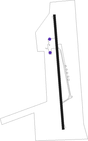
El Dorado - El Dorado Downtown
Airport details
| Country | United States of America |
| State | Arkansas |
| Region | K4 |
| Airspace | Ft Worth Ctr |
| Municipality | El Dorado |
| Elevation | 255ft (78m) |
| Timezone | GMT -6 |
| Coordinates | 33.19125, -92.66322 |
| Magnetic var | |
| Type | land |
| Available since | X-Plane v10.40 |
| ICAO code | F43 |
| IATA code | n/a |
| FAA code | n/a |
Communication
| El Dorado Downtown UNICOM | 122.800 |
Nearby Points of Interest:
El Dorado Apartments
-W. F. & Estelle McWilliams House
-El Dorado Junior College Building
-Griffin Auto Company Building
-Rialto Theatre
-Union County Courthouse
-Municipal Building
-Masonic Temple
-Bank of Commerce
-Exchange Bank building
-Newton House Museum
-Henry Crawford McKinney House
-Charles H. Murphy, Sr., House
-Randolph James House
-Joel Smith House
-Smith-McCurry House
-Willett House
-J.T. Murphy No 1 Crater
-Mount Moriah Masonic Lodge No. 18
-D. McDonald House
-Ouachita River Lock and Dam No. 8
-Capt. John T. Burkett House
-W. H. Allen House
-Dual State Monument
-William H. Smith House
Runway info
| Runway 18 / 36 | ||
| length | 915m (3002ft) | |
| bearing | 180° / 0° | |
| width | 18m (60ft) | |
| surface | asphalt | |
Nearby beacons
| code | identifier | dist | bearing | frequency |
|---|---|---|---|---|
| ELD | EL DORADO VOR/DME | 5.6 | 309° | 115.50 |
| EL | LADOS (EL DORADO) NDB | 6.5 | 326° | 418 |
| FWV | TRUXNO (FARMERVILLE) NDB | 27.5 | 142° | 379 |
| ROQ | RUSTON NDB | 35.1 | 173° | 368 |
| BQP | BASTROP NDB | 47.2 | 119° | 329 |
| MLU | MONROE VORTAC | 51.3 | 137° | 117.20 |
| ML | SABAR (MONROE) NDB | 52.4 | 143° | 392 |
| MON | MONTICELLO VOR/DME | 52.4 | 69° | 111.60 |
| HPC | HOPE NDB | 58.7 | 298° | 362 |
| EMG | ELM GROVE VORTAC | 66.8 | 230° | 111.20 |
Disclaimer
The information on this website is not for real aviation. Use this data with the X-Plane flight simulator only! Data taken with kind consent from X-Plane 12 source code and data files. Content is subject to change without notice.
