Botlhapatlou - Thebephatshwa
Airport details
| Country | Botswana |
| State | Kweneng District |
| Region | |
| Airspace | Gaborone Ctr |
| Elevation | 3950ft (1204m) |
| Timezone | GMT +2 |
| Coordinates | -24.20729, 25.35552 |
| Magnetic var | |
| Type | land |
| Available since | X-Plane v10.40 |
| ICAO code | FBTP |
| IATA code | n/a |
| FAA code | n/a |
Communication
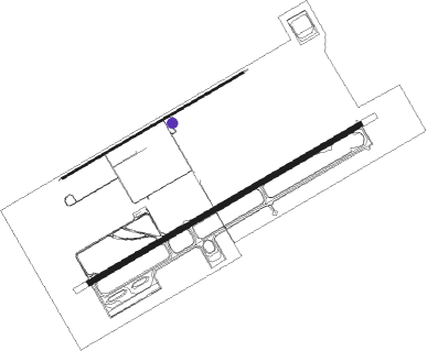
Runway info
Runway 06 / 24  | ||
| length | 2000m (6562ft) | |
| bearing | 66° / 246° | |
| width | 18m (58ft) | |
| surface | asphalt | |
| Runway 08 / 26 | ||
| length | 3001m (9846ft) | |
| bearing | 66° / 246° | |
| width | 45m (148ft) | |
| surface | asphalt | |
| blast zone | 177m (581ft) / 177m (581ft) | |
Nearby beacons
| code | identifier | dist | bearing | frequency |
|---|---|---|---|---|
| GBV | GABORONE VOR/DME | 35 | 129° | 113.70 |
| GSV | GABORONE VOR/DME | 37.2 | 121° | 114 |
| GBE | GABORONE NDB | 39.5 | 116° | 311 |
Disclaimer
The information on this website is not for real aviation. Use this data with the X-Plane flight simulator only! Data taken with kind consent from X-Plane 12 source code and data files. Content is subject to change without notice.