Otjiwarongo
Airport details
| Country | Namibia |
| State | Otjozondjupa |
| Region | |
| Airspace | Windhoek Ctr |
| Elevation | 4838ft (1475m) |
| Timezone | GMT +2 |
| Coordinates | -20.43056, 16.66250 |
| Magnetic var | |
| Type | land |
| Available since | X-Plane v10.40 |
| ICAO code | FYOW |
| IATA code | OTJ |
| FAA code | n/a |
Communication
Nearby Points of Interest:
Naulila Monument
-Stone Tower
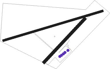
Runway info
Runway 09 / 27  | ||
| length | 1822m (5978ft) | |
| bearing | 79° / 259° | |
| width | 38m (124ft) | |
| surface | gravel | |
| Runway 06 / 24 | ||
| length | 1049m (3442ft) | |
| bearing | 49° / 229° | |
| width | 55m (180ft) | |
| surface | gravel | |
Disclaimer
The information on this website is not for real aviation. Use this data with the X-Plane flight simulator only! Data taken with kind consent from X-Plane 12 source code and data files. Content is subject to change without notice.