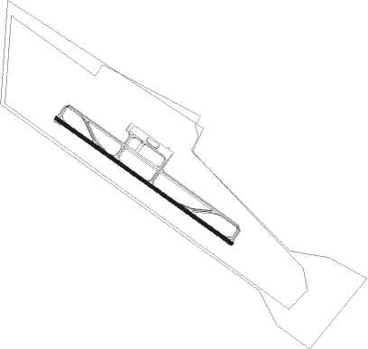
Assiut - Assiut Intl
Airport details
| Country | Egypt |
| State | Asyut |
| Region | HE |
| Airspace | Cairo Ctr |
| Elevation | 770ft (235m) |
| Timezone | GMT +2 |
| Coordinates | 27.04639, 31.01194 |
| Magnetic var | |
| Type | land |
| Available since | X-Plane v10.40 |
| ICAO code | HEAT |
| IATA code | ATZ |
| FAA code | n/a |
Communication
| Assiut Intl Tower | 118.100 |
Approach frequencies
| ILS-cat-I | RW31 | 111.3 | 18.00mi |
| 3° GS | RW31 | 111.3 | 18.00mi |
Nearby beacons
| code | identifier | dist | bearing | frequency |
|---|---|---|---|---|
| AST | ASYUT VOR/DME | 1.4 | 127° | 117.70 |
| SHG | SUHAG VOR/DME | 56.3 | 134° | 115.30 |
Departure and arrival routes
| Transition altitude | 4000ft |
| Transition level | 5500ft |
| SID end points | distance | outbound heading | |
|---|---|---|---|
| RW13 | |||
| KAXA1B | 24mi | 9° | |
| ASPE1B | 26mi | 80° | |
| KINI1B | 26mi | 125° | |
| BOTI1B | 24mi | 322° | |
| RW31 | |||
| KAXA1A | 24mi | 9° | |
| ASPE1A | 26mi | 80° | |
| KINI1A | 26mi | 125° | |
| BOTI1A | 24mi | 322° | |
| STAR starting points | distance | inbound heading | |
|---|---|---|---|
| RW13 | |||
| BOTI1D | 23.6 | 142° | |
| KAXA1D | 24.3 | 189° | |
| ASPE1D | 25.8 | 260° | |
| KINI1D | 26.4 | 305° | |
| RW31 | |||
| BOTI1C | 23.6 | 142° | |
| KAXA1C | 24.3 | 189° | |
| ASPE1C | 25.8 | 260° | |
| KINI1C | 26.4 | 305° | |
Instrument approach procedures
| runway | airway (heading) | route (dist, bearing) |
|---|---|---|
| RW13 | AST (307°) | AST AT412 (6mi, 251°) AT442 (11mi, 309°) 3000ft AT435 (5mi, 62°) 2500ft |
| RNAV | AT435 2500ft AT436 (5mi, 127°) 2500ft AT437 (5mi, 127°) 787ft (2417mi, 229°) 1800ft | |
| RW31 | AST (307°) | AST AT411 (6mi, 198°) AT431 (8mi, 120°) 3500ft AT432 (5mi, 22°) 2800ft |
| RNAV | AT432 2800ft AT433 (4mi, 307°) 2500ft AT434 (5mi, 307°) 822ft (2417mi, 229°) 1800ft |
Holding patterns
| STAR name | hold at | type | turn | heading* | altitude | leg | speed limit |
|---|---|---|---|---|---|---|---|
| ASPE1C | AST | NDB | right | 319 (139)° | > 7000ft | 1.0min timed | ICAO rules |
| ASPE1D | AST | NDB | right | 319 (139)° | > 7000ft | 1.0min timed | ICAO rules |
| BOTI1C | AST | NDB | right | 319 (139)° | > 7000ft | 1.0min timed | ICAO rules |
| BOTI1D | AST | NDB | right | 319 (139)° | > 7000ft | 1.0min timed | ICAO rules |
| KAXA1C | AST | NDB | right | 319 (139)° | > 7000ft | 1.0min timed | ICAO rules |
| KAXA1D | AST | NDB | right | 319 (139)° | > 7000ft | 1.0min timed | ICAO rules |
| KINI1C | AST | NDB | right | 319 (139)° | > 7000ft | 1.0min timed | ICAO rules |
| KINI1D | AST | NDB | right | 319 (139)° | > 7000ft | 1.0min timed | ICAO rules |
| *) magnetic outbound (inbound) holding course | |||||||
Disclaimer
The information on this website is not for real aviation. Use this data with the X-Plane flight simulator only! Data taken with kind consent from X-Plane 12 source code and data files. Content is subject to change without notice.