Nanyuki
Airport details
| Country | Kenya |
| State | Nyeri |
| Region | HK |
| Airspace | Nairobi Ctr |
| Elevation | 6250ft (1905m) |
| Timezone | GMT +3 |
| Coordinates | -0.06100, 37.04200 |
| Magnetic var | |
| Type | land |
| Available since | X-Plane v11.40 |
| ICAO code | HKNY |
| IATA code | NYK |
| FAA code | n/a |
Communication
Nearby Points of Interest:
Mau-Mau Cave
-Aberdare Range
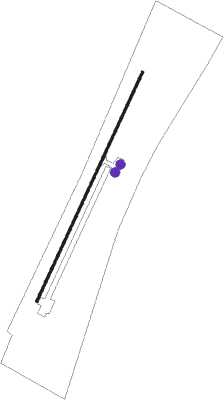
Runway info
| Runway 03 / 21 | ||
| length | 1202m (3944ft) | |
| bearing | 29° / 209° | |
| width | 12m (39ft) | |
| surface | concrete | |
Nearby beacons
| code | identifier | dist | bearing | frequency |
|---|---|---|---|---|
| NAK | LANET VOR/DME | 55.2 | 255° | 115.10 |
Disclaimer
The information on this website is not for real aviation. Use this data with the X-Plane flight simulator only! Data taken with kind consent from X-Plane 12 source code and data files. Content is subject to change without notice.