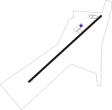
El Fasher
Airport details
| Country | Sudan |
| State | North Darfur State |
| Region | HS |
| Airspace | Khartoum Ctr |
| Municipality | Al-Fashir |
| Elevation | 2393ft (729m) |
| Timezone | GMT +3 |
| Coordinates | 13.61489, 25.32465 |
| Magnetic var | |
| Type | land |
| Available since | X-Plane v10.40 |
| ICAO code | HSFS |
| IATA code | ELF |
| FAA code | n/a |
Communication
| El Fasher Tower/Approach | 127.300 |
Nearby beacons
| code | identifier | dist | bearing | frequency |
|---|---|---|---|---|
| FSR | EL FASHIR VOR/DME | 1.6 | 233° | 115 |
Departure and arrival routes
| Transition altitude | 7000ft |
| SID end points | distance | outbound heading | |
|---|---|---|---|
| RW05 | |||
| IVOS1E, IVOS1A | 48mi | 75° | |
| ASMA1E, ASMA1A | 49mi | 96° | |
| RAMG1A, RAMG1E | 51mi | 193° | |
| IMLO1A, IMLO1E | 51mi | 267° | |
| RW23 | |||
| IVOS1W, IVOS1B | 48mi | 75° | |
| ASMA1W, ASMA1B | 49mi | 96° | |
| RAMG1B, RAMG1W | 51mi | 193° | |
| IMLO1B, IMLO1W | 51mi | 267° | |
| STAR starting points | distance | inbound heading | |
|---|---|---|---|
| RW05 | |||
| RAMG1E, RAMG1A | 51.4 | 13° | |
| IMLO1A, IMLO1E | 51.2 | 87° | |
| IVOS1A, IVOS1E | 48.4 | 255° | |
| ASMA1A, ASMA1E | 48.7 | 276° | |
| RW23 | |||
| RAMG1W, RAMG1B | 51.4 | 13° | |
| IMLO1B, IMLO1W | 51.2 | 87° | |
| IVOS1B, IVOS1W | 48.4 | 255° | |
| ASMA1W, ASMA1B | 48.7 | 276° | |
Instrument approach procedures
| runway | airway (heading) | route (dist, bearing) |
|---|---|---|
| RW05 | FS367 (30°) | FS367 4900ft FS366 (5mi, 321°) 4900ft |
| RW05 | FS368 (75°) | FS368 4900ft FS366 (5mi, 141°) 4900ft |
| RW05 | FS369 (53°) | FS369 5600ft FS366 (7mi, 52°) 4900ft |
| RNAV | FS366 4900ft FS365 (5mi, 53°) 4500ft HSFS (7mi, 53°) 2434ft FS364 (2mi, 53°) FS666 (26mi, 291°) 6700ft FS666 (turn) 6700ft | |
| RW23 | FS378 (233°) | FS378 5300ft FS377 (4mi, 232°) 4800ft |
| RW23 | FS379 (255°) | FS379 4800ft FS377 (5mi, 321°) 4800ft |
| RW23 | FS380 (210°) | FS380 4800ft FS377 (5mi, 141°) 4800ft |
| RNAV | FS377 4800ft FS376 (5mi, 233°) 4500ft HSFS (7mi, 233°) 2452ft FS374 (3mi, 233°) FS666 (23mi, 303°) 6700ft FS666 (turn) 6700ft |
Holding patterns
| STAR name | hold at | type | turn | heading* | altitude | leg | speed limit |
|---|---|---|---|---|---|---|---|
| ASMA1B | FS378 | VHF | left | 49 (229)° | 1.0min timed | ICAO rules | |
| IMLO1A | FS369 | VHF | right | 229 (49)° | 1.0min timed | ICAO rules | |
| IVOS1B | FS378 | VHF | left | 49 (229)° | 1.0min timed | ICAO rules | |
| RAMG1A | FS369 | VHF | right | 229 (49)° | 1.0min timed | ICAO rules | |
| *) magnetic outbound (inbound) holding course | |||||||
Disclaimer
The information on this website is not for real aviation. Use this data with the X-Plane flight simulator only! Data taken with kind consent from X-Plane 12 source code and data files. Content is subject to change without notice.