Stanton
Airport details
| Country | United States of America |
| State | Kentucky |
| Region | K5 |
| Airspace | Indianapolis Ctr |
| Municipality | Stanton |
| Elevation | 649ft (198m) |
| Timezone | GMT -5 |
| Coordinates | 37.84981, -83.84583 |
| Magnetic var | |
| Type | land |
| Available since | X-Plane v10.40 |
| ICAO code | I50 |
| IATA code | n/a |
| FAA code | I50 |
Communication
| Stanton CTAF/UNICOM | 122.800 |
Nearby Points of Interest:
Clay City National Bank Building
-Irvine Grade School
-Irvine Historic Business District
-Ravenna Motor Vehicle Service Building
-Red River Gorge
-Frenchburg School Campus
-Confederate Monument of Mt. Sterling
-KEAS Tabernacle Christian Methodist Episcopal Church
-Church of the Ascension
-Methodist Episcopal Church South
-Corinth Christian Methodist Episcopal Church
-William L. Hurst Law Office
-Bybee House
-St. Thomas Episcopal Church
-Beattyville Grade School
-Clark County Court House
-William Hickman House
-Confederate Monument in Owingsville
-J.J. Nesbitt House
-Thomas Deye Owings House
-Owingsville Commercial District and Courthouse Square
-Clark Mansion
-Old Providence Church
-Owen-Gay Farm
-Fort Boonesborough State Park
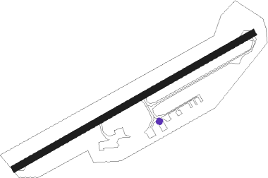
Runway info
| Runway 6 / 24 | ||
| length | 912m (2992ft) | |
| bearing | 70° / 250° | |
| width | 21m (70ft) | |
| surface | asphalt | |
| displ threshold | 131m (430ft) / 67m (220ft) | |
Nearby beacons
| code | identifier | dist | bearing | frequency |
|---|---|---|---|---|
| IOB | MOUNT STERLING NDB | 14.1 | 327° | 210 |
| HYK | LEXINGTON VOR/DME | 30.5 | 281° | 112.60 |
| GN | BRIDL (LEXINGTON) NDB | 35.3 | 293° | 340 |
| AZQ | DME | 39 | 128° | 111.20 |
| LE | BLAYD (LEXINGTON) NDB | 39.4 | 280° | 242 |
| DVK | GOODALL (DANVILLE) NDB | 46.6 | 253° | 311 |
| ECB | DME | 48 | 72° | 110.40 |
| LOZ | LONDON VOR/DME | 50.6 | 198° | 116.55 |
| FLM | FALMOUTH VOR/DME | 52.7 | 330° | 117 |
| YRK | YORK VORTAC | 62.8 | 48° | 112.80 |
| CDX | CUMBERLAND RIVER (SOMERSET) NDB | 64.9 | 224° | 388 |
Disclaimer
The information on this website is not for real aviation. Use this data with the X-Plane flight simulator only! Data taken with kind consent from X-Plane 12 source code and data files. Content is subject to change without notice.