Wadena - Wadena Muni
Airport details
| Country | United States of America |
| State | Minnesota |
| Region | K3 |
| Airspace | Minneapolis Ctr |
| Municipality | Otter Tail County |
| Elevation | 1369ft (417m) |
| Timezone | GMT -6 |
| Coordinates | 46.45017, -95.21295 |
| Magnetic var | |
| Type | land |
| Available since | X-Plane v10.40 |
| ICAO code | KADC |
| IATA code | n/a |
| FAA code | ADC |
Communication
| Wadena Muni AWOS 3 | 128.325 |
| Wadena Muni CTAF/UNICOM | 122.800 |
Nearby Points of Interest:
Wadena Depot
-Wadena Fire and City Hall
-Hewitt Public School
-Trinity Lutheran Church
-Perham Village Hall and Fire Station
-Germania Hall
-Craigie Flour Mill Historical Marker
-Prospect House
-District No. 182 School
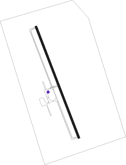
Runway info
| Runway 16 / 34 | ||
| length | 1222m (4009ft) | |
| bearing | 157° / 337° | |
| width | 23m (75ft) | |
| surface | asphalt | |
Nearby beacons
| code | identifier | dist | bearing | frequency |
|---|---|---|---|---|
| PK | SPIDA (PARK RAPIDS) NDB | 25 | 32° | 269 |
| PKD | RAPIDS DME | 27.5 | 18° | 110.60 |
| AXN | ALEXANDRIA VOR/DME | 29.5 | 182° | 112.80 |
| DTL | DETROIT LAKES VOR/DME | 35.7 | 299° | 111.20 |
| FF | HAMRE (FERGUS FALLS) NDB | 37.6 | 255° | 337 |
| FFM | FERGUS FALLS VOR/DME | 40.2 | 260° | 110.40 |
| XCR | RIPLEY NDB | 42.4 | 113° | 404 |
| MOX | MORRIS VOR/DME | 61.7 | 221° | 109.60 |
Instrument approach procedures
| runway | airway (heading) | route (dist, bearing) |
|---|---|---|
| RW16 | WENVI (157°) | WENVI 3300ft |
| RNAV | WENVI 3300ft DIXGY (8mi, 156°) 3000ft ZOBED (3mi, 156°) 1980ft KADC (2mi, 159°) 1410ft (5621mi, 116°) 1631ft JOLIT (5618mi, 296°) 3300ft JOLIT (turn) | |
| RW34 | JOLIT (336°) | JOLIT 3300ft |
| RNAV | JOLIT 3300ft ERLUY (8mi, 337°) 3000ft OVIRE (3mi, 337°) 1960ft KADC (2mi, 334°) 1397ft (5621mi, 116°) 1605ft WENVI (5624mi, 296°) 3300ft WENVI (turn) |
Disclaimer
The information on this website is not for real aviation. Use this data with the X-Plane flight simulator only! Data taken with kind consent from X-Plane 12 source code and data files. Content is subject to change without notice.