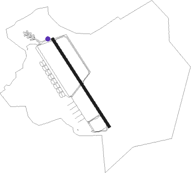
Bossier City - Barksdale Afb
Airport details
| Country | United States of America |
| State | Louisiana |
| Region | K4 |
| Airspace | Ft Worth Ctr |
| Municipality | Bossier City |
| Elevation | 166ft (51m) |
| Timezone | GMT -6 |
| Coordinates | 32.50193, -93.66263 |
| Magnetic var | |
| Type | land |
| Available since | X-Plane v10.35 |
| ICAO code | KBAD |
| IATA code | BAD |
| FAA code | BAD |
Communication
| Barksdale AFB Ground Control | 121.800 |
| Barksdale AFB Tower | 128.250 |
| Barksdale AFB SHREVEPORT Approach/Departure | 123.750 |
| Barksdale AFB SHREVEPORT Approach/Departure | 119.900 |
Approach frequencies
| ILS-cat-I | RW33 | 109.9 | 18.00mi |
| ILS-cat-I | RW15 | 108.9 | 18.00mi |
| 2.5° GS | RW33 | 109.9 | 18.00mi |
| 2.5° GS | RW15 | 108.9 | 18.00mi |
Nearby Points of Interest:
Barksdale Air Force Base
-Bossier High School
-Huey P. Long House
-Masonic Temple
-B'Nai Zion Temple
-Shreveport station
-Scottish Rite Cathedral
-Petroleum Tower
-Strand Theatre
-United States Post Office and Courthouse
-Central Fire Station
-St. Mark's Episcopal Church
-Kansas City Southern Railroad Bridge, Cross Bayou
-Shreveport Municipal Memorial Auditorium
-Antioch Baptist Church
-South Highlands Fire Station
-Shreveport Waterworks Pumping Station
-Shreveport Fire Station No. 8
-Hughes House
-Union Church
-Fuller House
-Keachi United Methodist Church
-Keachi Presbyterian Church
-Liberty Lodge No. 123, F&AM
Nearby beacons
| code | identifier | dist | bearing | frequency |
|---|---|---|---|---|
| BAD | BARKSDALE (BOSSIER CITY) TACAN | 0.2 | 285° | 115.80 |
| EMG | ELM GROVE VORTAC | 6.9 | 146° | 111.20 |
| EIC | BELCHER (SHREVEPORT) VORTAC | 17.8 | 331° | 117.40 |
| RPF | CARTHAGE NDB | 37.5 | 243° | 332 |
| ATA | ATLANTA NDB | 44.9 | 319° | 347 |
| CZJ | AMASON (CENTER) NDB | 47.3 | 216° | 341 |
| OOC | NATCHITOCHES NDB | 58.8 | 145° | 407 |
| SWB | SAWMILL (WINNFIELD) VOR/DME | 59.2 | 118° | 113.75 |
| ELD | EL DORADO VOR/DME | 64.7 | 51° | 115.50 |
| EL | LADOS (EL DORADO) NDB | 66.6 | 50° | 418 |
Disclaimer
The information on this website is not for real aviation. Use this data with the X-Plane flight simulator only! Data taken with kind consent from X-Plane 12 source code and data files. Content is subject to change without notice.