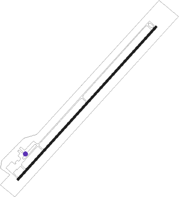
Bryce Canyon
Airport details
| Country | United States of America |
| State | Utah |
| Region | K2 |
| Airspace | Salt Lake City Ctr |
| Municipality | Garfield County |
| Elevation | 7587ft (2313m) |
| Timezone | GMT -7 |
| Coordinates | 37.70120, -112.15462 |
| Magnetic var | |
| Type | land |
| Available since | X-Plane v10.40 |
| ICAO code | KBCE |
| IATA code | BCE |
| FAA code | BCE |
Communication
| BRYCE CANYON ASOS | 135.475 |
| BRYCE CANYON CTAF/UNICOM | 122.800 |
Nearby Points of Interest:
Bryce Canyon Airport
-Loop C Comfort Station
-Loop D Comfort Station
-Bryce Inn
-Old Administration Building
-Old National Park Service Housing Historic District
-Utah Parks Company Service Station
-Bryce Canyon Lodge Historic District
-Horse Barn
-Bryce Canyon National Park Scenic Trails Historic District
-Rainbow Point Comfort Station and Overlook Shelter
-Panguitch Historic District
-Hole in the Rock Trail
Nearby beacons
| code | identifier | dist | bearing | frequency |
|---|---|---|---|---|
| BCE | BRYCE CANYON VORTAC | 7.1 | 265° | 112.80 |
| EHK | ENOCH VOR/DME | 43.6 | 275° | 117.30 |
| MLF | MILFORD VORTAC | 56.7 | 308° | 112.10 |
| PGA | PAGE VOR/DME | 57.2 | 137° | 117.60 |
| AZC | COLORADO CITY NDB | 60.3 | 229° | 403 |
Instrument approach procedures
| runway | airway (heading) | route (dist, bearing) |
|---|---|---|
| RW03 | BCE (85°) | BCE CIXOS (11mi, 207°) 11800ft CIXOS (turn) 11100ft |
| RW03 | CABER (302°) | CABER CIXOS (35mi, 280°) 11800ft CIXOS (turn) 11100ft |
| RW03 | CEXAT (71°) | CEXAT CIXOS (13mi, 90°) 11100ft |
| RW03 | HEGID (19°) | HEGID CIXOS (12mi, 326°) 11100ft |
| RNAV | CIXOS 11100ft IPYAD (6mi, 53°) 10600ft EXAKY (3mi, 53°) 9500ft KBCE (6mi, 53°) 7634ft (6448mi, 109°) 7990ft ETIKE (6438mi, 289°) WEKPI (17mi, 15°) HURTU (31mi, 277°) 13000ft HURTU (turn) | |
| RW21 | AXGEX (272°) | AXGEX BEYAB (39mi, 293°) 12800ft |
| RW21 | BCE (85°) | BCE BEYAB (29mi, 62°) 13100ft BEYAB (turn) 12800ft |
| RW21 | OMUCE (201°) | OMUCE BEYAB (26mi, 170°) 12800ft |
| RW21 | UJACI (241°) | UJACI BEYAB (11mi, 255°) 12800ft |
| RNAV | BEYAB 12800ft HIKMU (7mi, 233°) 12000ft ZUGOV (2mi, 233°) 11600ft CUNYA (3mi, 233°) 10700ft WOBNO (7mi, 233°) 8580ft KBCE (4mi, 234°) 7594ft (6448mi, 109°) 7879ft OPAWO (6450mi, 289°) CEXAT (24mi, 253°) 12300ft CEXAT (turn) |
Disclaimer
The information on this website is not for real aviation. Use this data with the X-Plane flight simulator only! Data taken with kind consent from X-Plane 12 source code and data files. Content is subject to change without notice.
