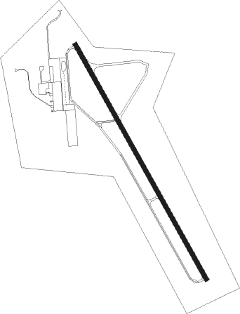
Coleman - Coleman Muni
Airport details
| Country | United States of America |
| State | Texas |
| Region | K4 |
| Airspace | Ft Worth Ctr |
| Municipality | Coleman |
| Elevation | 1694ft (516m) |
| Timezone | GMT -6 |
| Coordinates | 31.84114, -99.40361 |
| Magnetic var | |
| Type | land |
| Available since | X-Plane v10.40 |
| ICAO code | KCOM |
| IATA code | COM |
| FAA code | COM |
Communication
| Coleman Muni CTAF/UNICOM | 122.800 |
Nearby Points of Interest:
Ballinger Carnegie Library
-Concho County Courthouse
Nearby beacons
| code | identifier | dist | bearing | frequency |
|---|---|---|---|---|
| BWD | BROWNWOOD VOR/DME | 22.9 | 83° | 108.60 |
| AB | TOMHI (ABILENE) NDB | 30.7 | 329° | 353 |
| TQA | TUSCOLA (ABILENE) VOR/DME | 31.6 | 314° | 111.60 |
| DYS | DYESS (ABILENE) TACAN | 41.6 | 322° | 133.60 |
| ABI | ABILENE VORTAC | 44.9 | 324° | 113.70 |
Instrument approach procedures
| runway | airway (heading) | route (dist, bearing) |
|---|---|---|
| RW15 | PUYOK (187°) | PUYOK WIBUG (8mi, 248°) 4000ft |
| RW15 | WIBUG (151°) | WIBUG 4000ft |
| RNAV | WIBUG 4000ft IREZO (8mi, 151°) 3500ft KCOM (6mi, 151°) 1737ft (5884mi, 108°) 3000ft WIBUG (5889mi, 288°) 4000ft WIBUG (turn) | |
| RW33 | CUKKU (332°) | CUKKU 4000ft |
| RW33 | EKGUZ (300°) | EKGUZ 4000ft CUKKU (8mi, 248°) 4000ft |
| RNAV | CUKKU 4000ft OVHIL (7mi, 332°) 3500ft HOPIV (4mi, 332°) 2320ft KCOM (2mi, 332°) 1719ft (5884mi, 108°) 1939ft WIBUG (5889mi, 288°) 4000ft WIBUG (turn) |
Disclaimer
The information on this website is not for real aviation. Use this data with the X-Plane flight simulator only! Data taken with kind consent from X-Plane 12 source code and data files. Content is subject to change without notice.