Conway - Cantrell Field
Airport details
| Country | United States of America |
| State | Arkansas |
| Region | K4 |
| Airspace | Memphis Ctr |
| Municipality | Conway |
| Elevation | 274ft (84m) |
| Timezone | GMT -6 |
| Coordinates | 35.01989, -92.55511 |
| Magnetic var | |
| Type | land |
| Available since | X-Plane v11.30 |
| ICAO code | KCXW |
| IATA code | n/a |
| FAA code | CXW |
Communication
| Cantrell Field AWOS | 118.775 |
| Cantrell Field CTAF/UNICOM | 123.050 |
Nearby Points of Interest:
Bigelow Rosenwald School
-Bigelow Methodist Episcopal Church, South
-C.L. Sailor House
-J.E. Little House
-Frauenthal House
-Lasley's College Apartments
-D.O. Harton House
-Harton House
-S.G. Smith House
-Scull Historic District
-Robinson Historic District
-Houston Methodist Episcopal Church, South
-Frank U. Halter House
-Brown House
-Earl and Mildred Ward House
-Frank E. Robins House
-O.L. Dunaway House
-Faulkner County Museum
-Faulkner County Courthouse
-Greeson-Cone House
-Reuben W. Robins House
-Hall–Hogan Grocery Store
-Frauenthal & Schwarz Building
-Farmers State Bank
-Conway Commercial Historic District
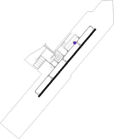
Runway info
| Runway 4 / 22 | ||
| length | 1676m (5499ft) | |
| bearing | 50° / 230° | |
| width | 30m (100ft) | |
| surface | concrete | |
Nearby beacons
| code | identifier | dist | bearing | frequency |
|---|---|---|---|---|
| LRF | JACKSONVILLE TACAN | 20.4 | 104° | 109.20 |
| LI | LASKY (LITTLE ROCK) NDB | 24.4 | 145° | 353 |
| LIT | LITTLE ROCK VORTAC | 27.6 | 132° | 113.90 |
| RUE | RUSSELLVILLE NDB | 30 | 294° | 379 |
| DS | CERCY (SEARCY) NDB | 39.4 | 83° | 375 |
| HOT | HOT SPRINGS VOR/DME | 41.8 | 225° | 110 |
| HO | HOSSY (HOT SPRINGS) NDB | 47.6 | 227° | 385 |
| BV | ALMND (BATESVILLE) NDB | 55.3 | 48° | 335 |
| PBF | PINE BLUFF VOR/DME | 55.8 | 141° | 116 |
| TT | STUTT (STUTTGART) NDB | 57 | 118° | 338 |
Instrument approach procedures
| runway | airway (heading) | route (dist, bearing) |
|---|---|---|
| RW04 | VAKUY (53°) | VAKUY 3000ft |
| RNAV | VAKUY 3000ft YUDUT (6mi, 53°) 2100ft UYASI (5mi, 53°) 526ft (5532mi, 111°) 583ft HOBUV (5523mi, 291°) 2600ft HOBUV (turn) | |
| RW22 | HOBUV (230°) | HOBUV 2600ft |
| RNAV | HOBUV 2600ft ZISOL (6mi, 230°) 1900ft OGAME (3mi, 230°) 1080ft KCXW (3mi, 230°) 316ft (5531mi, 111°) 533ft VAKUY (5540mi, 291°) 3000ft VAKUY (turn) |
Disclaimer
The information on this website is not for real aviation. Use this data with the X-Plane flight simulator only! Data taken with kind consent from X-Plane 12 source code and data files. Content is subject to change without notice.