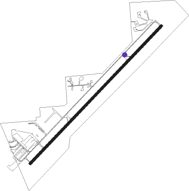
Driggs - Driggs Reed Mem
Airport details
| Country | United States of America |
| State | Idaho |
| Region | K1 |
| Airspace | Salt Lake City Ctr |
| Municipality | Driggs |
| Elevation | 6229ft (1899m) |
| Timezone | GMT -7 |
| Coordinates | 43.73581, -111.11020 |
| Magnetic var | |
| Type | land |
| Available since | X-Plane v10.40 |
| ICAO code | KDIJ |
| IATA code | n/a |
| FAA code | DIJ |
Communication
| Driggs Reed Mem ASOS | 120.775 |
| Driggs Reed Mem CTAF/UNICOM | 122.700 |
Nearby Points of Interest:
Teton County Courthouse
-Spud Drive-In Theater
-Victor Railroad Depot
-Upper Granite Canyon Patrol Cabin
-Cascade Canyon Barn
-White Grass Ranger Station Historic District
-White Grass Dude Ranch
-Geraldine Lucas Homestead-Fabian Place Historic District
-Old Administrative Area Historic District
-Highlands Historic District
-Jenny Lake Boat Concession Facilities
-Reimer's Cabin
-Jenny Lake CCC Camp NP-4
-Jenny Lake Ranger Station
-Jenny Lake Ranger Station Historic District
-Leigh Lake Ranger Patrol Cabin
-Murie Residence
-Menor's Ferry
-4 Lazy F Dude Ranch
-Bar B C Dude Ranch
-Mormon Row Historic District
-Andy Chambers Ranch Historic District
-Conant Creek Pegram Truss Railroad Bridge
-Miller Cabin
-Hunter Hereford Ranch Historic District
Nearby beacons
| code | identifier | dist | bearing | frequency |
|---|---|---|---|---|
| JAC | JACKSON VOR/DME | 17.8 | 107° | 115.40 |
| DNW | DUNOIR VOR/DME | 34 | 83° | 117.20 |
| IDA | IDAHO FALLS VOR/DME | 43.4 | 257° | 113.85 |
| LO | TARGY (WEST YELLOWSTONE) NDB | 50.5 | 354° | 415 |
| WYS | YELLOWSTONE DME | 56.4 | 359° | 114.85 |
Departure and arrival routes
| Transition altitude | 18000ft |
| Transition level | 18000ft |
| SID end points | distance | outbound heading | |
|---|---|---|---|
| RW04 | |||
| LAMON3 | 15mi | 328° | |
| RW22 | |||
| LAMON3 | 15mi | 328° | |
Instrument approach procedures
| runway | airway (heading) | route (dist, bearing) |
|---|---|---|
| RW04 | IDA (77°) | IDA RUDTO (31mi, 97°) 11100ft |
| RW04 | LAMON (148°) | LAMON EYITA (26mi, 229°) 11100ft RUDTO (17mi, 126°) 11100ft RUDTO (turn) 11100ft |
| RW04 | OLNUE (21°) | OLNUE RUDTO (18mi, 356°) 11100ft |
| RNAV | RUDTO 11100ft VICUP (11mi, 39°) 9800ft FIXOD (3mi, 39°) 9000ft JUSIR (5mi, 37°) 7020ft DIVVE (2mi, 37°) 6485ft (6312mi, 111°) 7000ft LAMON (6313mi, 292°) 10300ft LAMON (turn) 10300ft | |
| RWNVA | QUIRT (255°) | QUIRT PIKEQ (23mi, 278°) 14800ft PIKEQ (turn) 10000ft |
| RWNVA | SABAT (117°) | SABAT PIKEQ (23mi, 98°) 10000ft |
| RNAV | PIKEQ 10000ft TIHQI (7mi, 159°) 8100ft DIGUQ (5mi, 180°) 7400ft (6310mi, 111°) 7500ft PIKEQ (6309mi, 292°) 10000ft PIKEQ (turn) |
Disclaimer
The information on this website is not for real aviation. Use this data with the X-Plane flight simulator only! Data taken with kind consent from X-Plane 12 source code and data files. Content is subject to change without notice.