Baraboo - Baraboo Wisconsin Dells
Airport details
| Country | United States of America |
| State | Wisconsin |
| Region | K5 |
| Airspace | Chicago Ctr |
| Municipality | Town of Delton |
| Elevation | 979ft (298m) |
| Timezone | GMT -6 |
| Coordinates | 43.52203, -89.77125 |
| Magnetic var | |
| Type | land |
| Available since | X-Plane v10.35 |
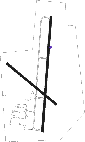
| ICAO code | KDLL |
| IATA code | DLL |
| FAA code | DLL |
Communication
| Baraboo Wisconsin Dells AWOS 3 | 118.325 |
| Baraboo Wisconsin Dells CTAF/UNICOM | 123.000 |
| Baraboo Wisconsin Dells MADISON Approach/Departure | 135.450 |
Approach frequencies
| LOC | RW01 | 109.15 | 18.00mi |
Nearby Points of Interest:
Walworth D. Porter Duplex Residence
-Sauk County Courthouse
-Seth Peterson Cottage
-Point of Rocks
-Aldo Leopold Shack and Farm
-Ice Age Trail
-Kilbourn Public Library
-H. H. Bennett Studio
-Jacob Weber House
-Van Hise Rock
-Wawbeek-Horace A.J. Upham House
-Baraboo Range
-Durward's Glen
-Edward M. Hackett House
-Main Street Commercial Historic District
-Chicago and North Western Depot
-William Stolte, Sr., House
-William Stolte, Jr., House
-Reedsburg Post Office
-Reedsburg Brewery
-Beastro & Barley
-Reedsburg Woolen Mill
-Merrimac Ferry
-Our Lady of Loretto Roman Catholic Church and Cemetery
-Zona Gale House

Nearby beacons
| code | identifier | dist | bearing | frequency |
|---|---|---|---|---|
| DLL | DELLS (BARABOO) VORTAC | 1.7 | 15° | 117 |
| LNR | ROCK DME | 20.8 | 238° | 116.05 |
| MSN | MADISON VORTAC | 29.4 | 131° | 108.60 |
| VOK | VOLK (CAMP DOUGLAS) TACAN | 32.9 | 311° | 110.40 |
| DAF | NECEDAH NDB | 33.5 | 329° | 233 |
| CMY | MC COY NDB | 45.2 | 296° | 412 |
| JVL | JANESVILLE VOR/DME | 64.8 | 145° | 114.30 |
Instrument approach procedures
| runway | airway (heading) | route (dist, bearing) |
|---|---|---|
| RW01 | DLL (195°) | DLL TRVIS (14mi, 192°) 3000ft TRVIS (turn) 3000ft |
| RW01 | IMMES (326°) | IMMES TRVIS (14mi, 297°) 3000ft |
| RW01 | OGUYU (32°) | OGUYU TRVIS (6mi, 63°) 3000ft |
| RNAV | TRVIS 3000ft EQQED (6mi, 12°) 2900ft GIRYE (3mi, 12°) 2080ft KDLL (4mi, 11°) 1017ft (5395mi, 116°) 1227ft NOYIL (5394mi, 296°) ZAVOX (6mi, 14°) 3000ft ZAVOX (turn) | |
| RW19 | JOOHR (64°) | JOOHR ZAVOX (43mi, 53°) 3000ft ZAVOX (turn) 3000ft |
| RW19 | MSN (311°) | MSN ZAVOX (39mi, 327°) 3000ft ZAVOX (turn) 3000ft |
| RNAV | ZAVOX 3000ft KRUBI (6mi, 194°) 2900ft TECYO (3mi, 192°) 1800ft KDLL (3mi, 193°) 1020ft (5395mi, 116°) 1302ft TRVIS (5397mi, 296°) 3000ft TRVIS (turn) |
Disclaimer
The information on this website is not for real aviation. Use this data with the X-Plane flight simulator only! Data taken with kind consent from X-Plane 12 source code and data files. Content is subject to change without notice.