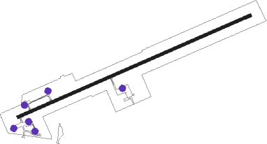
Saratoga - Dixon
Airport details
| Country | United States of America |
| State | Wyoming |
| Region | K1 |
| Airspace | Denver Ctr |
| Municipality | Carbon County |
| Elevation | 6520ft (1987m) |
| Timezone | GMT -7 |
| Coordinates | 41.03745, -107.49253 |
| Magnetic var | |
| Type | land |
| Available since | X-Plane v10.40 |
| ICAO code | KDWX |
| IATA code | n/a |
| FAA code | n/a |
Communication
| Dixon AWOS | 119.425 |
| Dixon CTAF | 122.900 |
Nearby Points of Interest:
the cabins at historic columbine
-Hahns Peak Schoolhouse
Nearby beacons
| code | identifier | dist | bearing | frequency |
|---|---|---|---|---|
| CHE | HAYDEN VOR/DME | 32.2 | 160° | 115.60 |
| SAA | SARATOGA NDB | 38.5 | 58° | 266 |
| CKW | CHEROKEE VOR/DME | 43.3 | 353° | 115 |
| BQZ | ROBERT (STEAMBOAT SPRINGS VOR/DME | 44.5 | 133° | 112.20 |
| EKR | MEEKER VOR/DME | 61.5 | 204° | 115.20 |
Departure and arrival routes
| Transition altitude | 18000ft |
| Transition level | 18000ft |
| SID end points | distance | outbound heading | |
|---|---|---|---|
| RW06 | |||
| CRBN1 | 17mi | 323° | |
| RW24 | |||
| DIXON1 | 11mi | 271° | |
Instrument approach procedures
| runway | airway (heading) | route (dist, bearing) |
|---|---|---|
| RW24 | CEDNO (155°) | CEDNO DAKDE (11mi, 96°) 10000ft EPIKY (6mi, 128°) 9900ft FABGA (6mi, 174°) 9900ft |
| RNAV | FABGA 9900ft GONEF (3mi, 209°) 9700ft HIBNU (3mi, 209°) 9000ft ILEUS (3mi, 240°) 8000ft JULAB (3mi, 240°) 6837ft (6191mi, 111°) 6949ft KHEDA (6202mi, 291°) 9500ft KHEDA (turn) |
Disclaimer
The information on this website is not for real aviation. Use this data with the X-Plane flight simulator only! Data taken with kind consent from X-Plane 12 source code and data files. Content is subject to change without notice.
