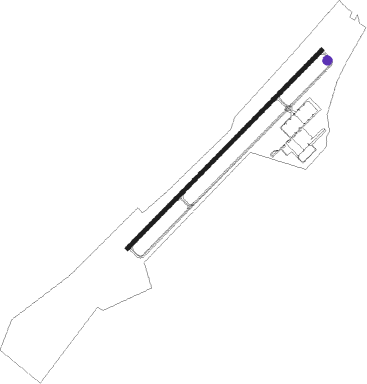
Summerville
Airport details
| Country | United States of America |
| State | South Carolina |
| Region | K7 |
| Airspace | Jacksonville Ctr |
| Municipality | Dorchester County |
| Elevation | 55ft (17m) |
| Timezone | GMT -5 |
| Coordinates | 33.06345, -80.27934 |
| Magnetic var | |
| Type | land |
| Available since | X-Plane v10.40 |
| ICAO code | KDYB |
| IATA code | n/a |
| FAA code | DYB |
Communication
| Summerville ASOS | 119.575 |
| Summerville CTAF/UNICOM | 123.000 |
| Summerville CHARLESTON Approach | 120.700 |
| Summerville CHARLESTON Departure | 120.700 |
Nearby Points of Interest:
Cypress Methodist Camp Ground
-Old White Meeting House Ruins and Cemetery
-Francis Beidler Forest
-Ashley River Historic District
-Middleton Place
-St. Paul Camp Ground
-Mulberry Plantation (Moncks Corner, South Carolina)
-Drayton Hall
-Lewisfield Plantation
-Medway
-Pineville Historic District
-Indian Fields Methodist Campground
-St. Andrews Episcopal Church
-Lawson's Pond Plantation
-Pon Pon Chapel
-General Asbestos and Rubber Company Main Mill
-Numertia Plantation
-Charleston Navy Yard Officers' Quarters Historic District
-Loch Dhu
-Charleston Naval Shipyard
-H. L. Hunley
-Ravenwood Plantation
-Eutaw Springs Battleground Park
-Walterboro Historic District
-Wilkinson-Boineau House
Nearby beacons
| code | identifier | dist | bearing | frequency |
|---|---|---|---|---|
| DYB | DORCHESTER COUNTY(SUMMERVILLE) NDB | 0.1 | 133° | 365 |
| CH | ASHLY (CHARLESTON) NDB | 10.5 | 116° | 329 |
| CHS | CHARLESTON VORTAC | 15.8 | 125° | 113.50 |
| VAN | VANCE VORTAC | 26.1 | 338° | 110.40 |
| MNI | MANNING NDB | 31.7 | 8° | 381 |
| NBC | BEAUFORT TACAN | 41.4 | 217° | 110.50 |
| PHH | ANDREWS NDB | 44.3 | 63° | 255 |
| CFY | EVANS (LAKE CITY) NDB | 54 | 33° | 420 |
| SSC | SHAW (SUMTER) TACAN | 55.7 | 348° | 110.10 |
| SMS | SUMTER NDB | 55.8 | 355° | 252 |
| MMT | MC ENTIRE (COLUMBIA) VORTAC | 57.9 | 329° | 113.20 |
| CAE | COLUMBIA VORTAC | 61.4 | 316° | 114.70 |
| SAV | SAVANNAH VORTAC | 72.1 | 225° | 115.95 |
| CA | MURRY (COLUMBIA) NDB | 72.6 | 313° | 362 |
Instrument approach procedures
| runway | airway (heading) | route (dist, bearing) |
|---|---|---|
| RW06 | HERMN (249°) | HERMN INARE (28mi, 244°) 2600ft INARE (turn) 2600ft |
| RW06 | SACKS (100°) | SACKS INARE (14mi, 133°) 2600ft |
| RNAV | INARE 2600ft OMOLY (5mi, 54°) 1700ft KDYB (6mi, 54°) 78ft (4917mi, 112°) 253ft PROSO (4909mi, 293°) 2600ft PROSO (turn) | |
| RW24 | HERMN (249°) | HERMN PROSO (8mi, 270°) 2600ft |
| RW24 | SACKS (100°) | SACKS PROSO (26mi, 83°) 2600ft PROSO (turn) 2600ft |
| RNAV | PROSO 2600ft UTUYO (6mi, 234°) 1700ft JERAK (5mi, 234°) 242ft (4916mi, 112°) 456ft PROSO (4909mi, 293°) 2600ft PROSO (turn) |
Disclaimer
The information on this website is not for real aviation. Use this data with the X-Plane flight simulator only! Data taken with kind consent from X-Plane 12 source code and data files. Content is subject to change without notice.