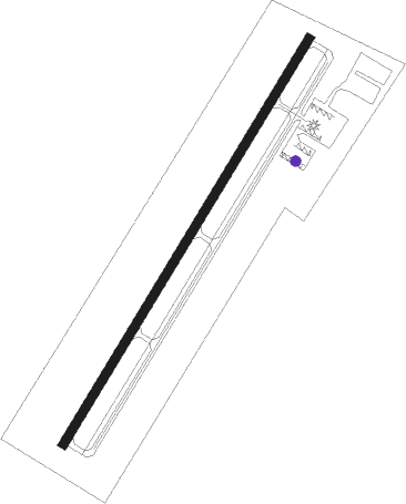
Monticello - Wayne Co
Airport details
| Country | United States of America |
| State | Kentucky |
| Region | K5 |
| Airspace | Indianapolis Ctr |
| Municipality | Monticello |
| Elevation | 960ft (293m) |
| Timezone | GMT -6 |
| Coordinates | 36.85528, -84.85614 |
| Magnetic var | |
| Type | land |
| Available since | X-Plane v10.40 |
| ICAO code | KEKQ |
| IATA code | n/a |
| FAA code | EKQ |
Communication
| Wayne Co ASOS | 118.825 |
| Wayne Co CTAF/UNICOM | 122.800 |
Nearby Points of Interest:
Fairchild House
-Old Wayne County High School
-Burnside Methodist Church
-Creelsboro Natural Bridge
-Pickett State Rustic Park Historic District
-Somerset Downtown Commercial District
-Forbus
-Battle of Dutton's Hill Monument
-Stearns Administrative and Commercial District
-Zion Meetinghouse and School
-James Baker House
-John Field House
-Adair County Courthouse
-Dr. Nathan Gaither House
-Black Creek Fire Lookout Tower
-Marrowbone Historic District
-Mt. Gilead Baptist Church
Nearby beacons
| code | identifier | dist | bearing | frequency |
|---|---|---|---|---|
| CDX | CUMBERLAND RIVER (SOMERSET) NDB | 11.9 | 51° | 388 |
| LVT | LIVINGSTON VOR/DME | 22 | 229° | 108.40 |
| SCX | SCOTT (ONEIDA) NDB | 27.2 | 146° | 403 |
| LOZ | LONDON VOR/DME | 37.3 | 77° | 116.55 |
| DVK | GOODALL (DANVILLE) NDB | 43.5 | 7° | 311 |
| EWO | NEW HOPE VOR/DME | 60.9 | 313° | 110.80 |
| HEM | HUCHN NDB | 62.9 | 220° | 233 |
| VXV | VOLUNTEER (KNOXVILLE) VORTAC | 73.6 | 135° | 116.40 |
Instrument approach procedures
| runway | airway (heading) | route (dist, bearing) |
|---|---|---|
| RW03 | UNNOG (42°) | UNNOG 4000ft |
| RNAV | UNNOG 4000ft OREWO (7mi, 42°) 3000ft ZOBKU (3mi, 42°) 2000ft KEKQ (3mi, 42°) 999ft (5158mi, 113°) 1231ft FIBKE (5151mi, 294°) 4000ft FIBKE (turn) | |
| RW21 | FIBKE (222°) | FIBKE 4000ft |
| RNAV | FIBKE 4000ft ZUGTO (7mi, 222°) 2900ft OKACA (3mi, 222°) 1940ft KEKQ (3mi, 222°) 1003ft (5158mi, 113°) 1257ft UNNOG (5165mi, 293°) 4000ft UNNOG (turn) |
Disclaimer
The information on this website is not for real aviation. Use this data with the X-Plane flight simulator only! Data taken with kind consent from X-Plane 12 source code and data files. Content is subject to change without notice.