Kemmerer - Kemmerer Muni
Airport details
| Country | United States of America |
| State | Wyoming |
| Region | K1 |
| Airspace | Salt Lake City Ctr |
| Municipality | Lincoln County |
| Elevation | 7285ft (2220m) |
| Timezone | GMT -7 |
| Coordinates | 41.82409, -110.55695 |
| Magnetic var | |
| Type | land |
| Available since | X-Plane v10.40 |
| ICAO code | KEMM |
| IATA code | EMM |
| FAA code | EMM |
Communication
| Kemmerer Muni AWOS 3 | 119.675 |
| Kemmerer Muni CTAF/UNICOM | 122.800 |
Nearby Points of Interest:
Haddenham Cabin
-ETD Bridge over Green River
-Randolph Tabernacle
-Granger Stage Station State Historic Site
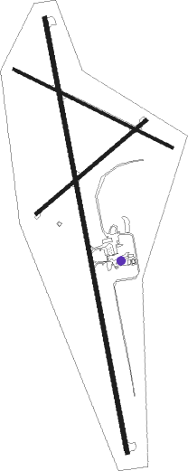
Runway info
Runway 16 / 34  | ||
| length | 2502m (8209ft) | |
| bearing | 172° / 352° | |
| width | 23m (75ft) | |
| surface | asphalt | |
| Runway 4 / 22 | ||
| length | 815m (2674ft) | |
| bearing | 62° / 242° | |
| width | 18m (60ft) | |
| surface | concrete | |
| blast zone | 53m (174ft) / 0m (0ft) | |
| Runway 10 / 28 | ||
| length | 998m (3274ft) | |
| bearing | 114° / 294° | |
| width | 18m (60ft) | |
| surface | dirt | |
Nearby beacons
| code | identifier | dist | bearing | frequency |
|---|---|---|---|---|
| FBR | FORT BRIDGER VOR/DME | 27.4 | 163° | 114.45 |
| EVW | EVANSTON VOR/DME | 39.7 | 222° | 109.60 |
| BPI | BIG PINEY VOR/DME | 49.5 | 31° | 116.50 |
| PNA | WENZ (PINEDALE) NDB | 67 | 38° | 392 |
Departure and arrival routes
| Transition altitude | 18000ft |
| Transition level | 18000ft |
| SID end points | distance | outbound heading | |
|---|---|---|---|
| RW16 | |||
| KEMRR5 | 27mi | 163° | |
| RW34 | |||
| KEMRR5 | 27mi | 163° | |
Instrument approach procedures
| runway | airway (heading) | route (dist, bearing) |
|---|---|---|
| RW16 | HINAV (135°) | HINAV 11700ft MIKAE (10mi, 85°) 11700ft |
| RW16 | MIKAE (171°) | MIKAE 11700ft |
| RW16 | ODUNE (211°) | ODUNE 11700ft MIKAE (10mi, 265°) 11700ft |
| RNAV | MIKAE 11700ft AMPLY (7mi, 172°) 10500ft WOTOP (2mi, 172°) 9900ft WAGEX (4mi, 172°) 8480ft KEMM (4mi, 171°) 7323ft (6316mi, 111°) 7539ft ILUME (6318mi, 291°) 10000ft ILUME (turn) | |
| RW34 | ILUME (352°) | ILUME 10000ft |
| RW34 | MUSTE (306°) | MUSTE 11700ft ILUME (10mi, 265°) 10000ft |
| RW34 | ZUVUN (41°) | ZUVUN 11700ft ILUME (10mi, 85°) 10000ft |
| RNAV | ILUME 10000ft FOSKA (6mi, 352°) 8900ft AUNTS (3mi, 352°) 7860ft KEMM (2mi, 353°) 7336ft (6316mi, 111°) 7530ft ATOXY (6316mi, 291°) GEGME (7mi, 277°) 12000ft GEGME (turn) |
Disclaimer
The information on this website is not for real aviation. Use this data with the X-Plane flight simulator only! Data taken with kind consent from X-Plane 12 source code and data files. Content is subject to change without notice.