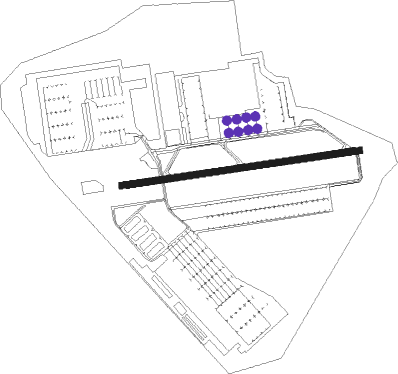
Fort Bragg - Simmons Army Airfield
Airport details
| Country | United States of America |
| State | North Carolina |
| Region | K7 |
| Airspace | Washington Ctr |
| Municipality | Cumberland County |
| Elevation | 0ft (0m) |
| Timezone | GMT -5 |
| Coordinates | 35.12513, -78.93369 |
| Magnetic var | |
| Type | land |
| Available since | X-Plane v10.40 |
| ICAO code | KFBG |
| IATA code | FBG |
| FAA code | FBG |
Communication
Nearby Points of Interest:
North Durham County Prison Camp
-Confederate Breastworks
-Fayetteville Veterans Administration Hospital Historic District
-Frank H. Stedman House
-Dr. William C. Verdery House
-Brownlea
-Orange Street School
-Holt-Harrison House
-McCall House
-Belden-Horne House
-Barge's Tavern
-Phoenix Masonic Lodge No. 8
-M & O Chevrolet Company
-Mansard Roof House
-St. Joseph's Episcopal Church
-Fayetteville Mutual Insurance Company Building
-The Capitol
-Kyle House
-St. John's Episcopal Church
-Waddill's Store
-Cape Fear and Yadkin Valley Railway Passenger Depot
-Fayetteville Downtown Historic District
-Market House Square District
-Cumberland County Courthouse
-Liberty Row
Nearby beacons
| code | identifier | dist | bearing | frequency |
|---|---|---|---|---|
| POB | POPE (FAYETTEVILLE) TACAN | 4.9 | 297° | 113.80 |
| FGP | FORT BRAGG NDB | 5.9 | 83° | 393 |
| POB | POPE (FAYETTEVILLE) NDB | 6.1 | 349° | 338 |
| FAY | FAYETTEVILLE VOR/DME | 8.8 | 157° | 108.80 |
| HQT | HARNETT (ERWIN) NDB | 22.4 | 40° | 417 |
| CTZ | CLINTON NDB | 29.5 | 105° | 412 |
| JN | JURLY (SMITHFIELD) NDB | 32.5 | 55° | 263 |
| SDZ | SANDHILLS (SOUTHERN PINES VORTAC | 32.5 | 278° | 111.80 |
| ME | MAXTN (MAXTON) NDB | 34.4 | 232° | 257 |
| JB | JIGEL (LUMBERTON) NDB | 36.2 | 199° | 384 |
| RDU | RALEIGH-DURHAM VORTAC | 45.4 | 11° | 117.20 |
| DLC | DILLON NDB | 45.8 | 213° | 274 |
| GSB | SEYMOUR JOHNSON TACAN | 48.8 | 78° | 116.50 |
| LE | LEEVY (RALEIGH/DURHAM) NDB | 49.2 | 15° | 350 |
| BES | BENNETTSVILLE NDB | 49.7 | 238° | 230 |
| CPC | CAMP (WHITEVILLE) NDB | 52.3 | 165° | 227 |
| LIB | LIBERTY VORTAC | 52.9 | 315° | 113 |
| HB | ALAMM NDB | 60.3 | 323° | 361 |
| UDG | DARLINGTON NDB | 62.3 | 234° | 245 |
| FLO | FLORENCE VORTAC | 64.4 | 219° | 115.20 |
| FL | ALCOT (FLORENCE) NDB | 72.9 | 224° | 335 |
Instrument approach procedures
| runway | airway (heading) | route (dist, bearing) |
|---|---|---|
| RW27 | DENIL (204°) | DENIL AXILE (14mi, 141°) 2000ft AXILE (turn) 2000ft |
| RW27 | FAY (337°) | FAY AXILE (13mi, 50°) 2000ft AXILE (turn) 2000ft |
| RW27 | ROZBO (299°) | ROZBO AXILE (12mi, 343°) 2000ft AXILE (turn) 2000ft |
| RNAV | AXILE 2000ft DORBY (7mi, 267°) 2000ft KFBG (6mi, 263°) 259ft (4863mi, 114°) 640ft AXILE (4851mi, 294°) 2100ft AXILE (turn) |
Disclaimer
The information on this website is not for real aviation. Use this data with the X-Plane flight simulator only! Data taken with kind consent from X-Plane 12 source code and data files. Content is subject to change without notice.