Fort Sumner - Fort Sumner Muni
Airport details
| Country | United States of America |
| State | New Mexico |
| Region | K2 |
| Airspace | Albuquerque Ctr |
| Municipality | Fort Sumner |
| Elevation | 4165ft (1269m) |
| Timezone | GMT -7 |
| Coordinates | 34.48777, -104.21695 |
| Magnetic var | |
| Type | land |
| Available since | X-Plane v10.40 |
| ICAO code | KFSU |
| IATA code | FSU |
| FAA code | FSU |
Communication
| Fort Sumner Muni CTAF/UNICOM | 122.800 |
Nearby Points of Interest:
Fort Sumner Cemetery Wall and Entry
-Fort Sumner Community House
-Fort Sumner
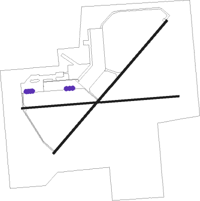
Runway info
Runway 3 / 21  | ||
| length | 1770m (5807ft) | |
| bearing | 51° / 231° | |
| width | 23m (75ft) | |
| surface | asphalt | |
| blast zone | 0m (0ft) / 61m (200ft) | |
| Runway 8 / 26 | ||
| length | 1603m (5259ft) | |
| bearing | 90° / 270° | |
| width | 18m (60ft) | |
| surface | asphalt | |
Nearby beacons
| code | identifier | dist | bearing | frequency |
|---|---|---|---|---|
| CVS | CANNON (CLOVIS) TACAN | 44.7 | 97° | 111.60 |
| TCC | TUCUMCARI VORTAC | 51.6 | 42° | 113.60 |
| ACH | ANTON CHICO VORTAC | 55.2 | 307° | 117.80 |
Disclaimer
The information on this website is not for real aviation. Use this data with the X-Plane flight simulator only! Data taken with kind consent from X-Plane 12 source code and data files. Content is subject to change without notice.