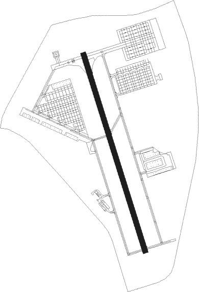
Fort Lewis/tacoma - Gray Aaf
Airport details
| Country | United States of America |
| State | Washington |
| Region | K1 |
| Airspace | Seattle Ctr |
| Municipality | Pierce County |
| Elevation | 299ft (91m) |
| Timezone | GMT -8 |
| Coordinates | 47.07986, -122.58222 |
| Magnetic var | |
| Type | land |
| Available since | X-Plane v10.40 |
| ICAO code | KGRF |
| IATA code | GRF |
| FAA code | GRF |
Communication
| Gray AAF ATIS | 124.650 |
| Gray AAF CTAF | 119.325 |
| Gray AAF Ground Control/Clearance DEL | 121.900 |
| Gray AAF Tower | 119.325 |
| Gray AAF SEATTLE Approach/Departure | 120.100 |
Approach frequencies
| ILS-cat-I | RW15 | 108.3 | 18.00mi |
| 3° GS | RW15 | 108.3 | 18.00mi |
Nearby Points of Interest:
Lewis Army Museum
-DuPont Village Historic District
-Thornewood
-Rhodesleigh
-Nisqually River
-Fort Steilacoom
-Tacoma Mausoleum
-Engine House No. 8
-Fox Island School
-Engine House No. 11
-Tacoma Narrows Bridge
-Woodard Bay Natural Resources Conservation Area
-Engine House No. 4
-Nihon Go Gakko
-Union Station
-Albers Brothers Mill
-Luzon Building
-North Slope
-Pythian Temple
-National Bank of Tacoma
-Old City Hall Historic District
-Engine House No. 13
-Rhodes House
-Stadium District
-Fireboat Station
Nearby beacons
| code | identifier | dist | bearing | frequency |
|---|---|---|---|---|
| TCM | MC CHORD (TACOMA) TACAN | 5.9 | 58° | 109.60 |
| OLM | OLYMPIA VORTAC | 14.6 | 251° | 113.40 |
| SEA | SEATTLE VORTAC | 24 | 37° | 116.80 |
| PAE | PAINE (EVERETT) VOR/DME | 51.9 | 20° | 110.60 |
| AW | WATON (ARLINGTON) NDB | 62.2 | 23° | 382 |
Instrument approach procedures
| runway | airway (heading) | route (dist, bearing) |
|---|---|---|
| RW15 | CARRO (128°) | CARRO CIKRI (9mi, 102°) 2000ft |
| RW15 | OLM (71°) | OLM CIKRI (20mi, 44°) 2000ft CIKRI (turn) 2000ft |
| RW15 | SEA (217°) | SEA CIKRI (17mi, 240°) 2000ft |
| RNAV | CIKRI 2000ft EMOFO (6mi, 161°) 1600ft ZAPEB (2mi, 161°) 1020ft KGRF (3mi, 163°) 355ft (6697mi, 111°) 701ft CIKRI (6695mi, 291°) 2000ft CIKRI (turn) | |
| RW33 | ALDER (327°) | ALDER HUMUT (8mi, 301°) 3300ft |
| RW33 | OLM (71°) | OLM ECEKO (7mi, 132°) 4000ft HUMUT (10mi, 82°) 3300ft |
| RNAV | HUMUT 3300ft ETAHO (6mi, 0°) 1600ft UGVIF (2mi, 341°) 980ft KGRF (3mi, 340°) 356ft (6697mi, 111°) 701ft CIKRI (6695mi, 291°) 2000ft CIKRI (turn) |
Disclaimer
The information on this website is not for real aviation. Use this data with the X-Plane flight simulator only! Data taken with kind consent from X-Plane 12 source code and data files. Content is subject to change without notice.