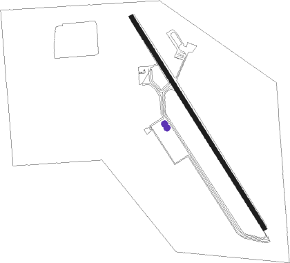
Guernsey - Camp Guernsey
Airport details
| Country | United States of America |
| State | Wyoming |
| Region | K1 |
| Airspace | Denver Ctr |
| Municipality | Platte County |
| Elevation | 4398ft (1341m) |
| Timezone | GMT -7 |
| Coordinates | 42.26138, -104.73148 |
| Magnetic var | |
| Type | land |
| Available since | X-Plane v10.45 |
| ICAO code | KGUR |
| IATA code | n/a |
| FAA code | n/a |
Communication
| Camp Guernsey CTAF/UNICOM | 122.700 |
Nearby Points of Interest:
Oregon Trail Ruts
-Register Cliff
-Fort Laramie National Historic Site
-Jay Em Historic District
-EWZ Bridge over East Channel of Laramie River
-South Torrington Union Pacific Depot
Nearby beacons
| code | identifier | dist | bearing | frequency |
|---|---|---|---|---|
| GYZ | CAMP GUERNSEY NDB | 1.4 | 141° | 280 |
| TOR | TORRINGTON NDB | 28.2 | 109° | 293 |
| IIP | HIPSHER VOR/DME | 33.1 | 310° | 115.75 |
| LAR | LARAMIE VOR/DME | 70.9 | 227° | 117.60 |
Instrument approach procedures
| runway | airway (heading) | route (dist, bearing) |
|---|---|---|
| RW32 | HOCXU (1°) | HOCXU UBODE (8mi, 54°) 7600ft UBODE (turn) 6900ft |
| RW32 | KACTI (260°) | KACTI UBODE (21mi, 231°) 8100ft UBODE (turn) 6900ft |
| RNAV | UBODE 6900ft MULLI (6mi, 325°) 6100ft KGUR (6mi, 324°) 4387ft (6057mi, 112°) 4802ft KEDPE (6058mi, 292°) POLDE (20mi, 301°) 9000ft POLDE (turn) |
Disclaimer
The information on this website is not for real aviation. Use this data with the X-Plane flight simulator only! Data taken with kind consent from X-Plane 12 source code and data files. Content is subject to change without notice.