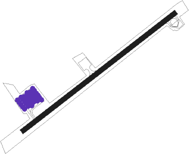
Hatteras - Billy Mitchell
Airport details
| Country | United States of America |
| State | North Carolina |
| Region | K7 |
| Airspace | Washington Ctr |
| Municipality | Dare County |
| Elevation | 17ft (5m) |
| Timezone | GMT -5 |
| Coordinates | 35.23281, -75.61781 |
| Magnetic var | |
| Type | land |
| Available since | X-Plane v10.40 |
| ICAO code | KHSE |
| IATA code | HNC |
| FAA code | HSE |
Communication
| Billy Mitchell ASOS | 118.375 |
| Billy Mitchell CTAF | 122.900 |
| Billy Mitchell CHERRY POINT Approach/Departure | 119.750 |
Nearby Points of Interest:
Ellsworth and Lovie Ballance House
-United States lightship Diamond Shoal
-Rasmus Midgett House
-Inkwell (Lake Landing, North Carolina)
-Lake Mattamuskeet Pump Station
Nearby beacons
| code | identifier | dist | bearing | frequency |
|---|---|---|---|---|
| MQI | MANTEO NDB | 41.1 | 354° | 370 |
| RBX | WRIGHT BROTHERS (MANTEO) VOR/DME | 41.4 | 353° | 111.60 |
Instrument approach procedures
| runway | airway (heading) | route (dist, bearing) |
|---|---|---|
| RW07 | PUNGO (114°) | PUNGO CULAT (36mi, 127°) 5200ft HULIP (7mi, 127°) 2000ft |
| RNAV | HULIP 2000ft JIKON (6mi, 62°) 1700ft KHSE (5mi, 62°) 64ft (4702mi, 115°) 500ft CULAT (4716mi, 295°) 6000ft CULAT (turn) | |
| RW25 | PUNGO (114°) | PUNGO OTMIE (47mi, 94°) 6000ft IPKOH (8mi, 179°) 3000ft |
| RW25 | ZOLMN (207°) | ZOLMN OTMIE (7mi, 217°) 6000ft IPKOH (8mi, 179°) 3000ft |
| RNAV | IPKOH 3000ft ONOKY (7mi, 209°) 1800ft BECAC (5mi, 227°) 213ft (4702mi, 115°) 520ft ZOLMN (4696mi, 295°) 6000ft ZOLMN (turn) |
Disclaimer
The information on this website is not for real aviation. Use this data with the X-Plane flight simulator only! Data taken with kind consent from X-Plane 12 source code and data files. Content is subject to change without notice.
