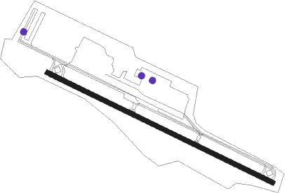
Williamsburg - Williamsburg-jamestown
Airport details
| Country | United States of America |
| State | Virginia |
| Region | K6 |
| Airspace | Washington Ctr |
| Municipality | James City County |
| Elevation | 47ft (14m) |
| Timezone | GMT -5 |
| Coordinates | 37.24224, -76.71921 |
| Magnetic var | |
| Type | land |
| Available since | X-Plane v10.40 |
| ICAO code | KJGG |
| IATA code | n/a |
| FAA code | JGG |
Communication
| Williamsburg-Jamestown AWOS 3 | 120.625 |
| Williamsburg-Jamestown CTAF/UNICOM | 122.800 |
| Williamsburg-Jamestown NORFOLK Approach | 119.450 |
| Williamsburg-Jamestown NORFOLK Departure | 119.450 |
Nearby Points of Interest:
Chandler Court and Pollard Park Historic District
-Merchants Square
-Colonial Williamsburg Courthouse
-James Semple House
-Kingsmill
-Matthew Whaley School
-Powhatan (Five Forks, Virginia)
-Green Spring Plantation
-Carter's Grove
-Pinewoods (Lightfoot, Virginia)
-Swann's Point Plantation
-Porto Bello
-Chippokes Plantation State Park
-Four Mile Tree
-Melville
-Rich Neck Farm
-Walnut Valley (Highgate, Virginia)
-Kiskiack
-Simon Reid Curtis House
-Lee Hall station
-Fort Crafford
-Surry County Courthouse Complex
-Norge Train Depot
-Lee's Mill Earthworks
-Cappahosic House
Nearby beacons
| code | identifier | dist | bearing | frequency |
|---|---|---|---|---|
| HCM | HARCUM VORTAC | 12.4 | 2° | 108.80 |
| HPW | HOPEWELL VORTAC | 19.6 | 282° | 112 |
| LFI | LANGLEY (HAMPTON) TACAN | 19.6 | 114° | 112.30 |
| AKQ | WAKEFIELD NDB | 20.6 | 227° | 274 |
| NGU | CHAMBERS (NORFOLK) TACAN | 27.8 | 124° | 113.95 |
| ORF | NORFOLK VORTAC | 32.5 | 124° | 116.90 |
| RIC | RICHMOND VORTAC | 32.6 | 293° | 114.10 |
| OR | INGLE (NORFOLK) NDB | 32.9 | 131° | 329 |
| FKN | FRANKLIN VORTAC | 34.6 | 209° | 110.60 |
| CCV | CAPE CHARLES VORTAC | 35 | 82° | 112.20 |
| NTU | OCEANA TACAN | 41.2 | 121° | 116.60 |
| NFE | CHESAPEAKE TACAN | 43 | 133° | 108.25 |
| CVI | COFIELD VORTAC | 52.7 | 190° | 114.60 |
| LLW | WOODVILLE (ELIZABETH CITY) NDB | 62.2 | 157° | 254 |
| ECG | ELIZABETH CITY VOR/DME | 64.6 | 151° | 112.50 |
Instrument approach procedures
| runway | airway (heading) | route (dist, bearing) |
|---|---|---|
| RWNVC | HPW (102°) | HPW ZESMI (9mi, 104°) 1900ft |
| RWNVC | ZESMI (101°) | ZESMI 1900ft |
| RNAV | ZESMI 1900ft WENDU (6mi, 101°) 1600ft JUSBO (5mi, 102°) 1060ft HCM (12mi, 3°) 2000ft HCM (turn) |
Disclaimer
The information on this website is not for real aviation. Use this data with the X-Plane flight simulator only! Data taken with kind consent from X-Plane 12 source code and data files. Content is subject to change without notice.
