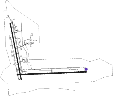
Mena - Mena Intermountain Municipal
Airport details
| Country | United States of America |
| State | Arkansas |
| Region | K4 |
| Airspace | Memphis Ctr |
| Municipality | Polk County |
| Elevation | 1079ft (329m) |
| Timezone | GMT -6 |
| Coordinates | 34.54539, -94.20264 |
| Magnetic var | |
| Type | land |
| Available since | X-Plane v10.40 |
| ICAO code | KMEZ |
| IATA code | n/a |
| FAA code | MEZ |
Communication
| Mena Intermountain Municipal AWOS 3 | 118.025 |
| Mena Intermountain Municipal CTAF/UNICOM | 122.800 |
Approach frequencies
| ILS-cat-I | RW27 | 108.7 | 18.00mi |
| 3° GS | RW27 | 108.7 | 18.00mi |
Nearby Points of Interest:
Mena Kansas City-Southern Depot
-Mena Commercial Historic District
-Studebaker Showroom
-National Guard Armory
-Mena City Hall
-Elks Lodge
-Polk County Courthouse
-Judge Benjamin Shaver House
-Mountain Fork Bridge
-Buckeye Vista Overlook
-C.E. Foster House
-Bard Springs Dam No. 1
-Bard Springs Bathhouse
-Parks School
-Old Scott County Jail
-Scott County Courthouse
-Poteau Work Center
-Poteau Work Center Residence No. 2
-C.E. Forrester House
-Jones General Store and Esso Station
-Goff and Gamble Merchandise Store
-Gillham City Jail
-Bates School
-King Schoolhouse
-Mount Ida Cities Service Filling Station

Nearby beacons
| code | identifier | dist | bearing | frequency |
|---|---|---|---|---|
| PGO | RICH MOUNTAIN (PAGE) VORTAC | 21.6 | 288° | 113.50 |
| FSM | FORT SMITH VORTAC | 50.7 | 355° | 110.40 |
| HPC | HOPE NDB | 56.7 | 146° | 362 |
Instrument approach procedures
| runway | airway (heading) | route (dist, bearing) |
|---|---|---|
| RW17 | DAVDE (182°) | DAVDE 4100ft |
| RNAV | DAVDE 4100ft GOSBE (6mi, 185°) 3800ft NATBE (2mi, 184°) 3140ft SESIE (6mi, 184°) 1249ft (5613mi, 110°) 1480ft COKEL (5610mi, 290°) DAVDE (7mi, 337°) 4100ft DAVDE (turn) |
Disclaimer
The information on this website is not for real aviation. Use this data with the X-Plane flight simulator only! Data taken with kind consent from X-Plane 12 source code and data files. Content is subject to change without notice.