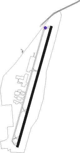
Mc Alester - Mc Alester Rgnl
Airport details
| Country | United States of America |
| State | Oklahoma |
| Region | K4 |
| Airspace | Ft Worth Ctr |
| Municipality | McAlester |
| Elevation | 770ft (235m) |
| Timezone | GMT -6 |
| Coordinates | 34.88663, -95.78307 |
| Magnetic var | |
| Type | land |
| Available since | X-Plane v10.40 |
| ICAO code | KMLC |
| IATA code | MLC |
| FAA code | MLC |
Communication
| MC ALESTER RGNL ASOS | 135.125 |
| MC ALESTER RGNL CTAF/UNICOM | 122.950 |
Nearby Points of Interest:
First Presbyterian Church
-International Temple, Supreme Assembly, Order of the Rainbow for Girls
-McAlester Scottish Rite Temple
-St. Joseph's Catholic Church
-McAlester House
-Cole Chapel School
-Robbers Cave State Park
-Sacred Heart Catholic Church and Rectory
-Holdenville Armory
-Nichols Park
-Holdenville City Hall
Nearby beacons
| code | identifier | dist | bearing | frequency |
|---|---|---|---|---|
| MLC | MCALESTER TACAN | 2.2 | 179° | 112 |
| HET | HENRYETTA NDB | 33.1 | 336° | 267 |
| OKM | OKMULGEE VOR/DME | 48.6 | 354° | 114.90 |
| SRE | SEMINOLE NDB | 49.5 | 293° | 278 |
| OK | PRESO (OKMULGEE) NDB | 52.7 | 349° | 388 |
| URH | (DURANT) DME | 64.1 | 213° | 114.30 |
Instrument approach procedures
| runway | airway (heading) | route (dist, bearing) |
|---|---|---|
| RW02 | AHAMU (24°) | AHAMU 3000ft |
| RW02 | DOMCO (17°) | DOMCO AHAMU (11mi, 10°) 3000ft |
| RW02 | HOLLE (101°) | HOLLE MASKE (28mi, 120°) 3000ft AHAMU (7mi, 107°) 3000ft |
| RNAV | AHAMU 3000ft COGGS (6mi, 24°) 2400ft KMLC (6mi, 23°) 785ft (5690mi, 110°) 1171ft DULSE (5685mi, 290°) 3000ft DULSE (turn) | |
| RW20 | BASAY (174°) | BASAY DULSE (9mi, 137°) 3000ft |
| RW20 | DULSE (205°) | DULSE 3000ft |
| RW20 | KLUBB (234°) | KLUBB DULSE (12mi, 256°) 3000ft |
| RNAV | DULSE 3000ft GOBBI (6mi, 204°) 2400ft KMLC (5mi, 205°) 820ft (5690mi, 110°) 1171ft AHAMU (5695mi, 290°) 3000ft AHAMU (turn) |
Disclaimer
The information on this website is not for real aviation. Use this data with the X-Plane flight simulator only! Data taken with kind consent from X-Plane 12 source code and data files. Content is subject to change without notice.
