Muscle Shoals - Northwest Alabama Rgnl
Airport details
| Country | United States of America |
| State | Alabama |
| Region | K7 |
| Airspace | Memphis Ctr |
| Municipality | Colbert County |
| Elevation | 548ft (167m) |
| Timezone | GMT -6 |
| Coordinates | 34.74530, -87.61022 |
| Magnetic var | |
| Type | land |
| Available since | X-Plane v10.40 |
| ICAO code | KMSL |
| IATA code | MSL |
| FAA code | MSL |
Communication
| NORTHWEST ALABAMA RGNL ASOS | 119.425 |
| NORTHWEST ALABAMA RGNL CTAF/UNICOM | 123.050 |
Approach frequencies
| ILS-cat-I | RW30 | 109.7 | 18.00mi |
| 3° GS | RW30 | 109.7 | 18.00mi |
Nearby Points of Interest:
FAME Studios
-Muscle Shoals Sound Studio
-E.L. Newman Lustron House
-Johnson's Woods
-The Oaks
-John Daniel Rather House
-Sheffield Residential Historic District
-Chambers-Robinson House
-William Winston House
-Sheffield Downtown Commercial Historic District
-Downtown Florence Historic District
-Felix Grundy Norman House
-E.H. Darby Lustron House
-Karsner-Carroll House
-Ivy Green
-Walnut Street Historic District
-Locust Street Historic District
-Cherry Street Historic District
-Clyde Carter House
-Seminary-O'Neal Historic District
-John and Archibald Christian House
-College Place Historic District
-Belle Mont
-William Bowen Lustron House
-Preuit Oaks
Runway info
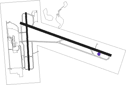
Runway 11 / 29  | ||
| length | 2038m (6686ft) | |
| bearing | 110° / 290° | |
| width | 46m (150ft) | |
| surface | asphalt | |
| Runway 18 / 36 | ||
| length | 1222m (4009ft) | |
| bearing | 182° / 2° | |
| width | 30m (100ft) | |
| surface | asphalt | |
Nearby beacons
| code | identifier | dist | bearing | frequency |
|---|---|---|---|---|
| MSL | MUSCLE SHOALS VORTAC | 6.2 | 108° | 116.50 |
| DCU | DME | 33.6 | 98° | 112.80 |
| HAB | DME | 38.3 | 216° | 110.40 |
| RQZ | ROCKET (HUNTSVILLE) VORTAC | 48.2 | 87° | 112.20 |
Instrument approach procedures
| runway | airway (heading) | route (dist, bearing) |
|---|---|---|
| RW12 | JOBTA (110°) | JOBTA 3000ft |
| RNAV | JOBTA 3000ft MIVGE (7mi, 110°) 2300ft WEKUB (3mi, 110°) 1280ft KMSL (3mi, 112°) 598ft (5287mi, 112°) 849ft HUPOK (5275mi, 292°) 2700ft HUPOK (turn) | |
| RW18 | TUBYO (180°) | TUBYO 3000ft |
| RNAV | TUBYO 3000ft SOSBE (7mi, 182°) 2300ft VEGUY (3mi, 182°) 1320ft KMSL (3mi, 174°) 596ft (5287mi, 112°) 789ft PAMGE (5288mi, 292°) 3000ft PAMGE (turn) | |
| RW30 | HUPOK (290°) | HUPOK 2700ft |
| RNAV | HUPOK 2700ft TICVU (8mi, 290°) 2000ft DIXLI (2mi, 290°) 1400ft KMSL (3mi, 289°) 609ft (5287mi, 112°) 750ft JOBTA (5299mi, 292°) 3000ft JOBTA (turn) | |
| RW36 | PAMGE (3°) | PAMGE 3000ft |
| RNAV | PAMGE 3000ft WAPGO (7mi, 2°) 2400ft ROCOB (4mi, 2°) 1160ft KMSL (2mi, 10°) 581ft (5287mi, 112°) 791ft TUBYO (5288mi, 292°) 3000ft TUBYO (turn) |
Disclaimer
The information on this website is not for real aviation. Use this data with the X-Plane flight simulator only! Data taken with kind consent from X-Plane 12 source code and data files. Content is subject to change without notice.