Orange City - Orange City Muni
Airport details
| Country | United States of America |
| State | Iowa |
| Region | K3 |
| Airspace | Minneapolis Ctr |
| Municipality | Orange City |
| Elevation | 1414ft (431m) |
| Timezone | GMT -6 |
| Coordinates | 42.98889, -96.06250 |
| Magnetic var | |
| Type | land |
| Available since | X-Plane v10.40 |
| ICAO code | KORC |
| IATA code | n/a |
| FAA code | ORC |
Communication
| Orange City Muni AWOS 3 | 127.825 |
| Orange City Muni CTAF/UNICOM | 122.800 |
| Orange City Muni MINNEAPOLIS CNTR | 124.100 |
Nearby Points of Interest:
Zwemer Hall, Northwestern College
-Sioux County Courthouse
-Reeves Farmstead Historic District
-Tonsfeldt Round Barn
-Le Mars Downtown Commercial Historic District
-Plymouth County Courthouse
-Le Mars Public Library
-Carnegie Library
-Charles M. and Emma M. Fischer Fleshman House
-Hawarden City Hall, Fire Station and Auditorium
-O'Brien County Courthouse
-Akron Opera House
-Baker House
-Cherokee Commercial Historic District
-Cherokee Public Library
-Lyon County Courthouse
-Melan Bridge
-Burlington, Cedar Rapids, and Northern Railroad-Rock Rapids Station, Railroad Track and Bridge
-Osceola County Courthouse
-United Brethren Church
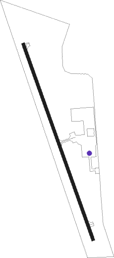
Runway info
| Runway 16 / 34 | ||
| length | 1297m (4255ft) | |
| bearing | 160° / 340° | |
| width | 18m (60ft) | |
| surface | concrete | |
| blast zone | 0m (0ft) / 61m (200ft) | |
Nearby beacons
| code | identifier | dist | bearing | frequency |
|---|---|---|---|---|
| SP | SNORE (SPENCER) NDB | 35.4 | 72° | 394 |
| OI | TOMMI (SIOUX CITY) NDB | 36.3 | 217° | 305 |
| SPW | SPENCER VOR/DME | 39.2 | 79° | 110 |
| SUX | SIOUX CITY TACAN | 40.3 | 202° | 116.50 |
| SU | SALIX (SOUIX CITY) NDB | 40.9 | 199° | 414 |
| OTG | WORTHINGTON VOR/DME | 44.7 | 36° | 110.60 |
| FS | ROKKY (SIOUX FALLS) NDB | 45.2 | 303° | 245 |
| OT | WONDD (WORTHINGTON) NDB | 45.9 | 44° | 277 |
| FSD | SIOUX FALLS VORTAC | 50.5 | 313° | 115 |
Disclaimer
The information on this website is not for real aviation. Use this data with the X-Plane flight simulator only! Data taken with kind consent from X-Plane 12 source code and data files. Content is subject to change without notice.