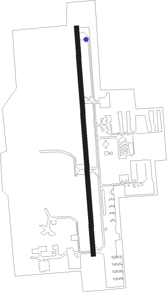
Eastsound - Orcas Island
Airport details
| Country | United States of America |
| State | Washington |
| Region | K1 |
| Airspace | Seattle Ctr |
| Municipality | San Juan County |
| Elevation | 22ft (7m) |
| Timezone | GMT -8 |
| Coordinates | 48.70782, -122.90952 |
| Magnetic var | |
| Type | land |
| Available since | X-Plane v10.40 |
| ICAO code | KORS |
| IATA code | ESD |
| FAA code | ORS |
Communication
| Orcas Island AWOS | 135.425 |
| Orcas Island CTAF | 128.250 |
| Orcas Island Approach | 118.200 |
| Orcas Island Departure | 118.200 |
Nearby Points of Interest:
Moran State Park
-Lairmont Manor
-Gamwell House
-Aftermath Clubhouse
-Lottie Roth Block
-Old Main
-T. G. Richards and Company Store
-Flatiron Building
-Bellingham National Bank Building
-B. P. O. E. Building
-J. J. Donovan House
-United States Post Office and Courthouse
-MV Plover
-Deception Pass Bridge
-Fairholme Manor Bed and Breakfast
-Government House
-Bay Street Substation
-Hudson's Bay Company Department Store
-Hook Sin Tong Charity Building
-Ocean Island Inn
-Masonic Temple
-Fairfield Block
-Chinese Consolidated Benevolent Association and Chinese Public School
-Gee Tuck Tong Benevolent Association Building
-Victoria City Hall, British Columbia
Nearby beacons
| code | identifier | dist | bearing | frequency |
|---|---|---|---|---|
| FHR | FRIDAY HARBOR NDB | 12.5 | 210° | 284 |
| AP | ACTIVE PASS NDB | 18 | 294° | 378 |
| WC | WHITE ROCK NDB | 18.8 | 28° | 332 |
| HUH | WHATCOM VORTAC | 19.3 | 54° | 113 |
| YJ | VICTORIA NDB | 19.8 | 263° | 200 |
| YYJ | VICTORIA VOR/DME | 22.8 | 272° | 113.70 |
| NUW | WHIDBEY ISLAND (OAK HARBO TACAN | 23.3 | 145° | 113.80 |
| YVR | VANCOUVER VOR/DME | 24.1 | 327° | 115.90 |
| BVS | SKAGIT/BAY VIEW (BURLINGTON) NDB | 24.2 | 116° | 240 |
| XX | ABBOTSFORD NDB | 24.8 | 54° | 344 |
| MB | MILL BAY (VICTORIA) NDB | 24.9 | 267° | 293 |
| VR | VANCOUVER NDB | 28.5 | 342° | 266 |
| CVV | PENN COVE VOR/DME | 28.7 | 158° | 117.20 |
| YPK | PITT MEADOWS VOR | 31.4 | 21° | 112.40 |
| NOW | EDIZ HOOK (PORT ANGELES) NDB | 39.3 | 221° | 338 |
| CL | ELWHA (PORT ANGELES) NDB | 45.1 | 234° | 515 |
| YCD | NANAIMO NDB | 45.5 | 294° | 251 |
| AW | WATON (ARLINGTON) NDB | 48.4 | 130° | 382 |
| PAE | PAINE (EVERETT) VOR/DME | 53.6 | 141° | 110.60 |
Departure and arrival routes
| Transition altitude | 18000ft |
| Transition level | 18000ft |
| SID end points | distance | outbound heading | |
|---|---|---|---|
| RW16 | |||
| FEGBA2 | 11mi | 181° | |
Instrument approach procedures
| runway | airway (heading) | route (dist, bearing) |
|---|---|---|
| RW16 | CANDL (269°) | CANDL EASTD (6mi, 328°) 2500ft APDON (6mi, 328°) 2000ft APDON (turn) 2000ft |
| RW16 | HUH (234°) | HUH APDON (7mi, 257°) 2000ft |
| RNAV | APDON 2000ft CALBI (8mi, 223°) 1900ft ZEKIS (3mi, 221°) 720ft TALCS (1mi, 221°) 320ft (6667mi, 112°) 440ft APDON (6656mi, 292°) 2000ft APDON (turn) | |
| RW34 | CVV (338°) | CVV 3000ft OKAYA (19mi, 337°) 3000ft |
| RW34 | ORCUS (31°) | ORCUS OKAYA (17mi, 52°) 3000ft |
| RNAV | OKAYA 3000ft WIBEB (4mi, 340°) 2300ft HORLA (3mi, 337°) 1240ft JESOR (3mi, 337°) 264ft (6667mi, 112°) 435ft HUH (6649mi, 292°) 2000ft HUH (turn) | |
| RWNVA | CVV (338°) | CVV FEGBA (19mi, 327°) 3000ft |
| RWNVA | ORCUS (31°) | ORCUS FEGBA (14mi, 50°) 3000ft |
| RNAV | FEGBA 3000ft NAKHU (6mi, 0°) 2200ft KORS (5mi, 1°) 75ft (6667mi, 112°) 435ft HUH (6649mi, 292°) 2000ft HUH (turn) |
Disclaimer
The information on this website is not for real aviation. Use this data with the X-Plane flight simulator only! Data taken with kind consent from X-Plane 12 source code and data files. Content is subject to change without notice.