Camdenton - Camdenton Mem - Lake Rgnl
Airport details
| Country | United States of America |
| State | Missouri |
| Region | K3 |
| Airspace | Kansas City Ctr |
| Municipality | Camden County |
| Elevation | 1062ft (324m) |
| Timezone | GMT -6 |
| Coordinates | 37.97397, -92.69119 |
| Magnetic var | |
| Type | land |
| Available since | X-Plane v10.50 |
| ICAO code | KOZS |
| IATA code | n/a |
| FAA code | OZS |
Communication
| Camdenton Mem - Lake Rgnl CTAF/UNICOM | 122.800 |
| Camdenton Mem - Lake Rgnl MIZZU Approach/Departure | 124.100 |
Nearby Points of Interest:
Calloway Manes Homestead
-Laclede County Jail
-Joe Knight Building
-Morgan County Courthouse
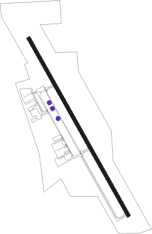
Runway info
| Runway 15 / 33 | ||
| length | 1220m (4003ft) | |
| bearing | 150° / 330° | |
| width | 23m (75ft) | |
| surface | asphalt | |
Nearby beacons
| code | identifier | dist | bearing | frequency |
|---|---|---|---|---|
| SHY | SUNSHINE (KAISER) VOR/DME | 5.8 | 53° | 108.40 |
| TBN | FORNEY (FORT LEONARD WOOD VOR | 29.6 | 113° | 110 |
| BHN | BUCKHORN (FORT LEONARD WOOD) NDB | 32.4 | 115° | 391 |
| JE | ALGOA (JEFFERSON CITY) NDB | 45.1 | 47° | 397 |
| VIH | VICHY (ROLLA/VICHY) VOR/DME | 47.7 | 80° | 117.70 |
| SGF | SPRINGFIELD VORTAC | 48 | 226° | 116.90 |
| MAP | MAPLES TACAN | 48.6 | 113° | 113.40 |
| COU | COLUMBIA VOR/DME | 54.9 | 29° | 110.20 |
| DGD | DOGWOOD VORTAC | 57.7 | 191° | 109.40 |
| SZL | WHITEMAN (KNOB NOSTER) TACAN | 61 | 312° | 109.80 |
Instrument approach procedures
| runway | airway (heading) | route (dist, bearing) |
|---|---|---|
| RW15 | WEVEM (149°) | WEVEM 3000ft |
| RNAV | WEVEM 3000ft YAVUG (6mi, 149°) 2600ft KOZS (5mi, 149°) 1093ft (5533mi, 112°) 1312ft OTEEN (5528mi, 292°) 3000ft OTEEN (turn) | |
| RW33 | OTEEN (330°) | OTEEN 3000ft |
| RNAV | OTEEN 3000ft UNNAS (6mi, 330°) 2600ft HUGEP (3mi, 330°) 1700ft KOZS (2mi, 329°) 1099ft (5533mi, 112°) 1312ft WEVEM (5537mi, 292°) 3000ft WEVEM (turn) |
Disclaimer
The information on this website is not for real aviation. Use this data with the X-Plane flight simulator only! Data taken with kind consent from X-Plane 12 source code and data files. Content is subject to change without notice.