Panama City - Tyndall Afb
Airport details
| Country | United States of America |
| State | Florida |
| Region | K7 |
| Airspace | Jacksonville Ctr |
| Municipality | Bay County |
| Elevation | 18ft (5m) |
| Timezone | GMT -6 |
| Coordinates | 30.06957, -85.57542 |
| Magnetic var | |
| Type | land |
| Available since | X-Plane v10.40 |
| ICAO code | KPAM |
| IATA code | PAM |
| FAA code | PAM |
Communication
| Tyndall AFB ATIS | 254.400 |
| Tyndall AFB Clearance DEL | 118.050 |
| Tyndall AFB Ground Control | 121.900 |
| Tyndall AFB Tower | 133.950 |
| Tyndall AFB Approach/Departure | 119.100 |
| Tyndall AFB Approach/Departure | 124.150 |
| Tyndall AFB Approach/Departure | 125.200 |
Approach frequencies
| ILS-cat-I | RW32R | 110.1 | 18.00mi |
| ILS-cat-I | RW14L | 111.5 | 18.00mi |
| 2.5° GS | RW32R | 110.1 | 18.00mi |
| 2.5° GS | RW14L | 111.5 | 18.00mi |
Nearby Points of Interest:
Sapp House
-Robert L. McKenzie House
-Sherman Arcade
-A. A. Payne-John Christo, Sr., House
-SS Tarpon
-Port Theatre
-St. Joseph Catholic Mission Church
-Latimer Cabin
-Fort Gadsden
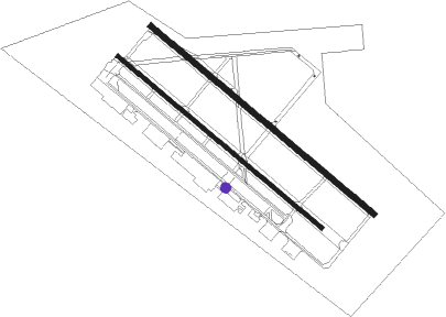
Runway info
Runway 14L / 32R  | ||
| length | 3052m (10013ft) | |
| bearing | 130° / 310° | |
| width | 61m (200ft) | |
| surface | concrete | |
| blast zone | 255m (837ft) / 255m (837ft) | |
| Runway 14R / 32L | ||
| length | 2787m (9144ft) | |
| bearing | 130° / 310° | |
| width | 46m (150ft) | |
| surface | asphalt | |
| blast zone | 255m (837ft) / 255m (837ft) | |
Nearby beacons
| code | identifier | dist | bearing | frequency |
|---|---|---|---|---|
| PAM | TYNDALL (PANAMA CITY) TACAN | 0.3 | 34° | 133.70 |
| PFN | LYNNE (PANAMA CITY) NDB | 18.8 | 321° | 278 |
| MAI | MARIANNA VORTAC | 48.9 | 32° | 114 |
| SMY | SOYYA (MARIANNA) NDB | 51.4 | 24° | 329 |
| DWG | WARRINGTON (VALPARAISO) TACAN | 54.8 | 293° | 134.50 |
| CE | KOBRA (CRESTVIEW) NDB | 68.4 | 309° | 201 |
Disclaimer
The information on this website is not for real aviation. Use this data with the X-Plane flight simulator only! Data taken with kind consent from X-Plane 12 source code and data files. Content is subject to change without notice.