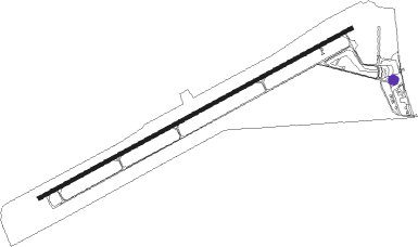
Saratoga - Shively Field
Airport details
| Country | United States of America |
| State | Wyoming |
| Region | K1 |
| Airspace | Denver Ctr |
| Municipality | Saratoga |
| Elevation | 7012ft (2137m) |
| Timezone | GMT -7 |
| Coordinates | 41.44353, -106.82753 |
| Magnetic var | |
| Type | land |
| Available since | X-Plane v10.40 |
| ICAO code | KSAA |
| IATA code | SAA |
| FAA code | SAA |
Communication
| Shively Field AWOS 3 | 118.175 |
| Shively Field CTAF/UNICOM | 122.800 |
Nearby Points of Interest:
Ryan Ranch
-DFU Elk Mountain Bridge
-Parco Historic District
-Wyoming State Penitentiary
-Downtown Rawlins Historic District
-Rawlins Residential Historic District
-Bridger Pass
Nearby beacons
| code | identifier | dist | bearing | frequency |
|---|---|---|---|---|
| SAA | SARATOGA NDB | 0.2 | 288° | 266 |
| CKW | CHEROKEE VOR/DME | 38.7 | 292° | 115 |
| MBW | MEDICINE BOW VOR/DME | 44.1 | 64° | 116.85 |
| BQZ | ROBERT (STEAMBOAT SPRINGS VOR/DME | 58.8 | 183° | 112.20 |
| CHE | HAYDEN VOR/DME | 59.5 | 207° | 115.60 |
Instrument approach procedures
| runway | airway (heading) | route (dist, bearing) |
|---|---|---|
| RW05 | CKW (112°) | CKW HOVDU (17mi, 144°) 10100ft ZUBUB (14mi, 149°) 10100ft |
| RW05 | NEDAE (80°) | NEDAE ZUBUB (18mi, 89°) 10100ft |
| RW05 | ZOLGA (117°) | ZOLGA HOVDU (12mi, 202°) 10100ft ZUBUB (14mi, 149°) 10100ft |
| RNAV | ZUBUB 10100ft YIDUR (10mi, 71°) 10100ft WEVOM (4mi, 71°) 9300ft ZOGAN (4mi, 71°) 8160ft KSAA (4mi, 71°) 7054ft (6158mi, 111°) 7800ft ZOLGA (6177mi, 291°) 11000ft ZOLGA (turn) | |
| RWNVB | KLASH (211°) | KLASH TELCU (7mi, 283°) 10000ft TELCU (turn) 10000ft |
| RWNVB | NEDAE (80°) | NEDAE TRUMA (35mi, 61°) 11000ft TELCU (7mi, 102°) 10000ft |
| RNAV | TELCU 10000ft WIVID (6mi, 157°) 8800ft JILOD (4mi, 157°) 7620ft (6158mi, 111°) 7620ft TRUMA (6165mi, 291°) 10000ft TRUMA (turn) |
Disclaimer
The information on this website is not for real aviation. Use this data with the X-Plane flight simulator only! Data taken with kind consent from X-Plane 12 source code and data files. Content is subject to change without notice.
