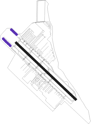
San Carlos
Airport details
| Country | United States of America |
| State | California |
| Region | K2 |
| Airspace | Oakland Ctr |
| Municipality | San Carlos |
| Elevation | 2ft (1m) |
| Timezone | GMT -8 |
| Coordinates | 37.51186, -122.24952 |
| Magnetic var | |
| Type | land |
| Available since | X-Plane v10.40 |
| ICAO code | KSQL |
| IATA code | SQL |
| FAA code | SQL |
Communication
| San Carlos San Carlos ATIS | 125.900 |
| San Carlos San Carlos CTAF | 119.000 |
| San Carlos San Carlos Ground | 121.600 |
| San Carlos San Carlos Tower | 119.000 |
| San Carlos Norcal Approach | 133.950 |
| San Carlos Norcal Departure | 135.650 |
Nearby Points of Interest:
Lathrop House (Redwood City, California)
-Ralston Hall
-Redwood City Historic Commercial Buildings
-Holbrook-Palmer Estate
-Mortimer Fleishhacker House
-X-100
-Arthur and Mona Hofmann House
-Dunker House
-Ramona Street Architectural District
-Wilson House
-Hostess House
-John Adam Squire House
-Fraternal Hall Building
-United States Post Office (Palo Alto, California)
-T. B. Downing House
-Palo Alto Medical Clinic
-Palo Alto Stock Farm Horse Barn
-Norris House
-Theophilus Allen House
-Pettigrew House
-Lou Henry and Herbert Hoover House
-MacFarland House
-Hanna–Honeycomb House
-Pedro de Lemos House
-Green Gables
Nearby beacons
| code | identifier | dist | bearing | frequency |
|---|---|---|---|---|
| OSI | WOODSIDE VOR/DME | 7.3 | 195° | 113.90 |
| SFO | SAN FRANCISCO VOR/DME | 8.7 | 311° | 115.80 |
| NUQ | MOFFETT (MOUNTAIN VIEW) TACAN | 10.3 | 112° | 117.60 |
| OAK | OAKLAND VOR/DME | 12.9 | 7° | 116.80 |
| SJC | SAN JOSE VOR/DME | 16.7 | 114° | 114.10 |
| SAU | SAUSALITO VOR/DME | 24.3 | 321° | 116.20 |
| LV | REIGA (LIVERMORE) NDB | 29 | 72° | 374 |
| CCR | CONCORD VOR/DME | 33.4 | 21° | 117 |
| SGD | SCAGGS ISLAND (NAPA) VORTAC | 40.5 | 350° | 112.10 |
| PYE | POINT REYES VOR/DME | 44.9 | 313° | 113.70 |
| SUU | TRAVIS (FAIRFIELD) TACAN | 46.3 | 23° | 116.60 |
| MR | MUNSO (MONTEREY) NDB | 55.5 | 161° | 385 |
| SNS | SALINAS VORTAC | 59.6 | 143° | 117.30 |
| SAC | SACRAMENTO VORTAC | 64.9 | 37° | 115.20 |
| STS | ROSA DME | 65.4 | 331° | 116.15 |
Departure and arrival routes
| Transition altitude | 18000ft |
| Transition level | 18000ft |
| STAR starting points | distance | inbound heading | |
|---|---|---|---|
| ALL | |||
| PYE3 | 44.9 | 133° | |
Instrument approach procedures
| runway | airway (heading) | route (dist, bearing) |
|---|---|---|
| RW30-Y | OSI (15°) | OSI JEFNY (9mi, 124°) 5100ft JIKPE (2mi, 49°) 4600ft AMEBY (4mi, 49°) 3900ft |
| RW30-Y | SAPID (348°) | SAPID JEFNY (7mi, 19°) 5500ft JIKPE (2mi, 49°) 4600ft AMEBY (4mi, 49°) 3900ft |
| RNAV | AMEBY 3900ft CUZUP (6mi, 306°) 2000ft KIZEM (6mi, 306°) 101ft (6909mi, 107°) 405ft AMEBY (6904mi, 287°) 5400ft AMEBY (turn) | |
| RW30-Z | OSI (15°) | OSI JEFNY (9mi, 124°) 5100ft JIKPE (2mi, 49°) 4600ft AMEBY (4mi, 49°) 3900ft |
| RW30-Z | SAPID (348°) | SAPID JEFNY (7mi, 19°) 5500ft JIKPE (2mi, 49°) 4600ft AMEBY (4mi, 49°) 3900ft |
| RNAV | AMEBY 3900ft CUZUP (6mi, 306°) 2000ft KIZEM (6mi, 306°) 101ft (6909mi, 107°) 405ft AMEBY (6904mi, 287°) 5400ft AMEBY (turn) |
Holding patterns
| STAR name | hold at | type | turn | heading* | altitude | leg | speed limit |
|---|---|---|---|---|---|---|---|
| PYE3 | PYE | NDB | right | 325 (145)° | 1.0min timed | ICAO rules | |
| PYE3 | STINS | VHF | right | 324 (144)° | 1.0min timed | ICAO rules | |
| *) magnetic outbound (inbound) holding course | |||||||
Disclaimer
The information on this website is not for real aviation. Use this data with the X-Plane flight simulator only! Data taken with kind consent from X-Plane 12 source code and data files. Content is subject to change without notice.