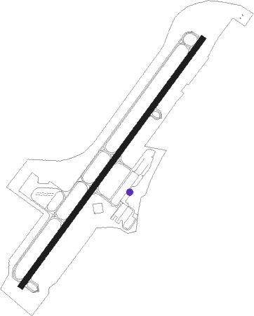
Oak Island - Cape Fear Regl
Airport details
| Country | United States of America |
| State | North Carolina |
| Region | K7 |
| Airspace | Washington Ctr |
| Municipality | Brunswick County |
| Elevation | 20ft (6m) |
| Timezone | GMT -5 |
| Coordinates | 33.93753, -78.06491 |
| Magnetic var | |
| Type | land |
| Available since | X-Plane v10.40 |
| ICAO code | KSUT |
| IATA code | n/a |
| FAA code | SUT |
Communication
| Cape Fear Regl AWOS 3 | 124.175 |
| Cape Fear Regl CTAF/UNICOM | 123.050 |
| Cape Fear Regl WILMINGTON Approach/Departure | 118.250 |
Nearby Points of Interest:
Southport Historic District
-Brunswick County Courthouse
-Cape Fear Light
-Oak Island Life Saving Station
-Fort Caswell Historic District
-Bald Head Creek Boathouse
-Fort Fisher State Historic Site
-Newton Homesite and Cemetery
-Orton Plantation
-Joy Lee Apartment Building and Annex
-Wilmington Historic District
-Alton Lennon Federal Building and Courthouse
-Delgrado School
-Thalian Hall
-Westbrook–Ardmore Historic District
-Carolina Place Historic District
-Market Street Mansion District
-Carolina Heights Historic District
-James Walker Nursing School Quarters
-Wilmington National Cemetery
-Brookwood Historic District
-Bradley-Latimer Summer House
-Mount Lebanon Chapel and Cemetery
-Gabriel's Landing
Nearby beacons
| code | identifier | dist | bearing | frequency |
|---|---|---|---|---|
| IL | AIRLI (WILMINGTON) NDB | 18.1 | 38° | 281 |
| ILM | WILMINGTON VORTAC | 26.6 | 25° | 117 |
| GM | WILZE NDB | 27.1 | 32° | 205 |
| CRE | GRAND STRAND VORTAC | 33.7 | 259° | 114.40 |
| CPC | CAMP (WHITEVILLE) NDB | 37.9 | 297° | 227 |
| DIW | DIXON NDB | 48.5 | 44° | 198 |
| OA | ELLAS (JACKSONVILLE) NDB | 51.9 | 24° | 261 |
| NCA | NEW RIVER TACAN | 55.6 | 39° | 115.40 |
Instrument approach procedures
| runway | airway (heading) | route (dist, bearing) |
|---|---|---|
| RW05 | CHAMS (96°) | CHAMS BRUNS (12mi, 129°) 2000ft HOWWE (5mi, 126°) 1600ft |
| RW05 | WYLMS (128°) | WYLMS BRUNS (15mi, 184°) 2000ft HOWWE (5mi, 126°) 1600ft |
| RNAV | HOWWE 1600ft WIVAN (6mi, 46°) 1500ft KSUT (6mi, 47°) 58ft (4812mi, 113°) 274ft JONDE (4809mi, 294°) WYLMS (15mi, 292°) 3000ft WYLMS (turn) | |
| RW23 | BILLL (173°) | BILLL SWICK (7mi, 124°) 3000ft ORRTN (5mi, 132°) 1700ft |
| RNAV | ORRTN 1700ft INIMY (6mi, 226°) 1700ft JONUM (3mi, 226°) 720ft KSUT (2mi, 224°) 85ft (4812mi, 113°) 500ft SWICK (4810mi, 294°) 3000ft SWICK (turn) |
Disclaimer
The information on this website is not for real aviation. Use this data with the X-Plane flight simulator only! Data taken with kind consent from X-Plane 12 source code and data files. Content is subject to change without notice.
