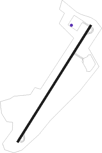
Summersville
Airport details
| Country | United States of America |
| State | West Virginia |
| Region | K6 |
| Airspace | Indianapolis Ctr |
| Municipality | Nicholas County |
| Elevation | 1818ft (554m) |
| Timezone | GMT -5 |
| Coordinates | 38.23164, -80.87080 |
| Magnetic var | |
| Type | land |
| Available since | X-Plane v10.40 |
| ICAO code | KSXL |
| IATA code | n/a |
| FAA code | SXL |
Communication
| Summersville CTAF/UNICOM | 122.800 |
| Summersville CHARLESTON Approach/Departure | 119.200 |
Approach frequencies
| SDF | RW04 | 110.1 | 18.00mi |
Nearby beacons
| code | identifier | dist | bearing | frequency |
|---|---|---|---|---|
| RNL | RAINELLE VOR | 15.6 | 166° | 116.60 |
| BKW | BECKLEY VOR/DME | 29.6 | 209° | 117.70 |
| LWB | DME | 31.6 | 128° | 116.05 |
| LW | BUSHI (LEWISBURG) NDB | 33 | 138° | 346 |
| HVQ | CHARLESTON VOR/DME | 42.9 | 277° | 117.40 |
| EKN | ELKINS VORTAC | 54.7 | 48° | 114.20 |
| BLF | BLUEFIELD VOR/DME | 57.6 | 199° | 110 |
| ROA | ROANOKE VOR/DME | 65.4 | 138° | 109.40 |
| ODR | WOODRUM (ROANOKE) VOR | 69 | 135° | 114.90 |
Instrument approach procedures
| runway | airway (heading) | route (dist, bearing) |
|---|---|---|
| RWNVA | BKW (29°) | BKW STAMM (17mi, 18°) 5000ft |
| RWNVA | GAULE (70°) | GAULE STAMM (8mi, 112°) 5000ft |
| RWNVA | STAMM (43°) | STAMM 5000ft |
| RNAV | STAMM 5000ft JMILR (5mi, 43°) 4100ft ZERKE (3mi, 43°) 3020ft KSXL (4mi, 43°) 1858ft (4975mi, 115°) 2220ft KAYRU (4972mi, 295°) BITES (8mi, 16°) 4500ft BITES (turn) |
Disclaimer
The information on this website is not for real aviation. Use this data with the X-Plane flight simulator only! Data taken with kind consent from X-Plane 12 source code and data files. Content is subject to change without notice.
