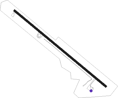
Tell City - Perry County
Airport details
| Country | United States of America |
| State | Indiana |
| Region | K5 |
| Airspace | Indianapolis Ctr |
| Municipality | Perry County |
| Elevation | 659ft (201m) |
| Timezone | GMT -6 |
| Coordinates | 38.01886, -86.69241 |
| Magnetic var | |
| Type | land |
| Available since | X-Plane v10.40 |
| ICAO code | KTEL |
| IATA code | n/a |
| FAA code | TEL |
Communication
| Perry County CTAF/UNICOM | 122.700 |
| Perry County EVANSVILLE Approach/Departure | 124.025 |
Nearby Points of Interest:
Tell City Oddfellows' Hall
-Nester House
-Rockhouse Cliffs Rockshelters
-Cannelton Cotton Mill
-Immaculate Conception Church
-Robert C. Beauchamp House
-St. Boniface Catholic Church
-Old Perry County Courthouse
-Jacob Rickenbaugh House
-Deutsch Evangelische St. Paul's Kirche
-Potts Creek Rockshelter
-Dr. Alois Wollenmann House
-Col. William Jones House
-Mathias Sharp House
-Spencer County Courthouse
-Lincoln Pioneer Village
-Huntingburg Commercial Historic District
-Huntingburg Town Hall and Fire Engine House
-Swan's Landing Archeological Site
-Louisville, Henderson, and St. Louis Railroad Depot
-Haphazard (Owensboro, Kentucky)
-John Opel House
-St. Joseph's Catholic Church
-Yewell House
-Temple Adath Israel
Nearby beacons
| code | identifier | dist | bearing | frequency |
|---|---|---|---|---|
| MYS | MYSTIC VOR | 22.4 | 106° | 108.20 |
| OWB | OWENSBORO VOR/DME | 27.8 | 240° | 108.60 |
| FTK | FORT KNOX VOR/DME | 34.7 | 99° | 109.60 |
| EVV | VICCI (EVANSVILLE) NDB | 35.9 | 278° | 219 |
| CCT | CITY DME | 46.8 | 222° | 109.80 |
| JV | CATCH (JEFFERSONVILLE) NDB | 52.6 | 65° | 331 |
| LWV | DME | 62.2 | 309° | 108.80 |
| PLX | PALESTINE (ROBINSON) NDB | 74.5 | 316° | 391 |
Instrument approach procedures
| runway | airway (heading) | route (dist, bearing) |
|---|---|---|
| RW13 | HOLAN (104°) | HOLAN MEALY (13mi, 85°) 2500ft |
| RW13 | SACKO (172°) | SACKO MEALY (9mi, 232°) 2500ft MEALY (turn) 2500ft |
| RNAV | MEALY 2500ft GADGE (6mi, 127°) 2200ft KTEL (5mi, 127°) 648ft (5249mi, 114°) 1000ft FOMUV (5240mi, 294°) 2500ft FOMUV (turn) | |
| RW31 | APALO (86°) | APALO FOMUV (18mi, 110°) 2500ft FOMUV (turn) 2500ft |
| RW31 | LOONE (13°) | LOONE RIBIW (9mi, 66°) 2500ft FOMUV (6mi, 51°) 2500ft |
| RW31 | MYS (286°) | MYS FOMUV (12mi, 266°) 2500ft |
| RNAV | FOMUV 2500ft JISNI (7mi, 307°) 2300ft UCUCU (3mi, 307°) 1360ft KTEL (2mi, 307°) 700ft (5249mi, 114°) 1020ft MEALY (5257mi, 294°) 2500ft MEALY (turn) |
Disclaimer
The information on this website is not for real aviation. Use this data with the X-Plane flight simulator only! Data taken with kind consent from X-Plane 12 source code and data files. Content is subject to change without notice.
