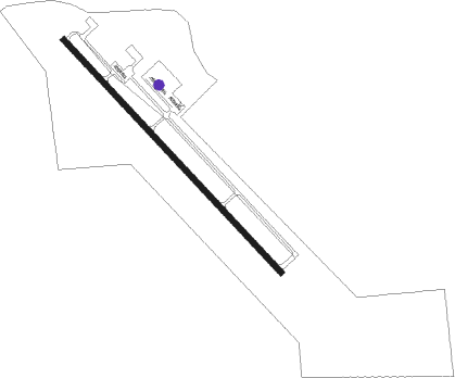
Newton - Newton Muni
Airport details
| Country | United States of America |
| State | Iowa |
| Region | K3 |
| Airspace | Chicago Ctr |
| Municipality | Newton |
| Elevation | 953ft (290m) |
| Timezone | GMT -6 |
| Coordinates | 41.67442, -93.02172 |
| Magnetic var | |
| Type | land |
| Available since | X-Plane v10.40 |
| ICAO code | KTNU |
| IATA code | TNU |
| FAA code | TNU |
Communication
| Newton Muni AWOS 3 | 132.275 |
| Newton Muni CTAF/UNICOM | 122.800 |
| Newton Muni DES MOINES Approach/Departure | 123.900 |
Approach frequencies
| ILS-cat-I | RW32 | 109.7 | 18.00mi |
| 3° GS | RW32 | 109.7 | 18.00mi |
Nearby Points of Interest:
Jasper County Courthouse
-Thomas Arthur House
-James Norman Hall House
-Spaulding Manufacturing Company
-Christian Science Society
-Pioneer Oil Company Filling Station
-Bowers and McDonald Office Building
-Grinnell Herald Building
-Interior Telephone Company Building
-Farmers Mutual Reinsurance Company Building
-Stewart Library
-Chicago, Rock Island and Pacific Railroad-Grinnell Passenger Station
-Levi P. Grinnell House
-Goodnow Hall
-B.J. Ricker House
-E.A. and Rebecca (Johnson) Marsh House
-Mears Cottage
-Universalist Church
-Thomas F. and Nancy Tuttle House
-Philipus J. and Cornelia Koelman House
-Ten Hagen Cottage–Stegeman Store
-William Van Asch House-Huibert Debooy Commercial Room
-Dirk and Cornelia J. Vander Wilt Cottage
-Dominie Henry P. Scholte House
-Pella Opera House
Nearby beacons
| code | identifier | dist | bearing | frequency |
|---|---|---|---|---|
| TNU | NEWTON VOR/DME | 7.6 | 321° | 112.50 |
| PEA | PELLA NDB | 16.5 | 164° | 257 |
| JWJ | ELMWOOD (MARSHALTOWN) VOR/DME | 26.7 | 14° | 109.40 |
| DSM | DES MOINES VORTAC | 31.5 | 249° | 117.50 |
| OTM | OTTUMWA VOR/DME | 49.8 | 133° | 111.60 |
| ALO | WATERLOO VOR/DME | 59.8 | 35° | 112.20 |
| BEX | BLOOMFIELD NDB | 61.8 | 148° | 269 |
Instrument approach procedures
| runway | airway (heading) | route (dist, bearing) |
|---|---|---|
| RW14 | KOWDO (133°) | KOWDO 3100ft |
| RNAV | KOWDO 3100ft EBSUH (6mi, 133°) 2600ft KTNU (6mi, 133°) 991ft (5541mi, 114°) 1203ft UBHIT (5534mi, 294°) 2700ft UBHIT (turn) | |
| RW32 | UBHIT (313°) | UBHIT 2700ft |
| RNAV | UBHIT 2700ft MATAG (6mi, 313°) 2600ft KTNU (5mi, 313°) 1005ft (5541mi, 114°) 1150ft KOWDO (5548mi, 294°) 3100ft KOWDO (turn) |
Disclaimer
The information on this website is not for real aviation. Use this data with the X-Plane flight simulator only! Data taken with kind consent from X-Plane 12 source code and data files. Content is subject to change without notice.