Stovepipe Wells
Airport details
| Country | United States of America |
| State | California |
| Region | K2 |
| Airspace | Los Angeles Ctr |
| Municipality | CAL Fire San Bernardino Unit |
| Elevation | 23ft (7m) |
| Timezone | GMT -8 |
| Coordinates | 36.60383, -117.15923 |
| Magnetic var | |
| Type | land |
| Available since | X-Plane v10.40 |
| ICAO code | L09 |
| IATA code | n/a |
| FAA code | n/a |
Communication
| STOVEPIPE WELLS CTAF | 122.900 |
Nearby Points of Interest:
Death Valley Scotty Historic District
-Eagle Borax Works
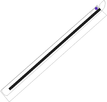
Runway info
| Runway 5 / 23 | ||
| length | 1006m (3301ft) | |
| bearing | 59° / 239° | |
| width | 20m (65ft) | |
| surface | asphalt | |
Nearby beacons
| code | identifier | dist | bearing | frequency |
|---|---|---|---|---|
| BTY | BEATTY VORTAC | 23 | 64° | 114.70 |
| NID | CHINA LAKE TACAN | 60.7 | 210° | 111.60 |
Disclaimer
The information on this website is not for real aviation. Use this data with the X-Plane flight simulator only! Data taken with kind consent from X-Plane 12 source code and data files. Content is subject to change without notice.