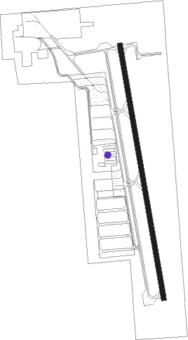
Bakersfield - Bakersfield Municipal
Airport details
| Country | United States of America |
| State | California |
| Region | K2 |
| Airspace | Los Angeles Ctr |
| Municipality | Bakersfield |
| Elevation | 375ft (114m) |
| Timezone | GMT -8 |
| Coordinates | 35.32486, -118.99603 |
| Magnetic var | |
| Type | land |
| Available since | X-Plane v10.32 |
| ICAO code | L45 |
| IATA code | n/a |
| FAA code | n/a |
Communication
| Bakersfield Municipal CTAF/UNICOM | 122.800 |
| Bakersfield Municipal BAKERSFIELD Approach/Departure | 126.450 |
Nearby Points of Interest:
Bakersfield California Building
-Tevis Block
-Jastro Building
-Baker Branch Library
-Weedpatch Camp
-Santa Fe Passenger and Freight Depot
-Shafter Research Station
-Wasco Union High School
-Tehachapi Loop
-Lakeview Gusher
-The Fort (Taft, California)
-Courtlandt Gross House
-Fort Tejon
-Tehachapi Railroad Depot
-The Forty Acres
Nearby beacons
| code | identifier | dist | bearing | frequency |
|---|---|---|---|---|
| EHF | SHAFTER (BAKERSFIELD) VORTAC | 10.7 | 328° | 115.40 |
| GMN | GORMAN VORTAC | 31.9 | 166° | 116.10 |
| TTE | TULE VOR/DME | 35.3 | 358° | 109.20 |
| LHS | LAKE HUGHES VORTAC | 43.7 | 147° | 114.35 |
| FLW | FELLOWS VOR/DME | 44.8 | 255° | 117.50 |
| AVE | AVENAL VOR/DME | 51.7 | 288° | 117.10 |
| FIM | FILLMORE VORTAC | 58.4 | 173° | 112.50 |
| PMD | PALMDALE VORTAC | 61.9 | 127° | 114.50 |
| RZS | SAN MARCUS (SANTA BARBARA VORTAC | 62 | 224° | 114.90 |
Instrument approach procedures
| runway | airway (heading) | route (dist, bearing) |
|---|---|---|
| RW34 | LOPES (315°) | LOPES LEBEC (8mi, 270°) 5700ft UMKOW (8mi, 312°) 3000ft |
| RW34 | TAFTO (63°) | TAFTO WUTFY (7mi, 108°) 3000ft UMKOW (11mi, 85°) 3000ft |
| RNAV | UMKOW 3000ft APCUD (6mi, 353°) 2000ft L45 (5mi, 353°) 426ft (6804mi, 107°) 1200ft UMKOW (6807mi, 286°) 3000ft UMKOW (turn) |
Disclaimer
The information on this website is not for real aviation. Use this data with the X-Plane flight simulator only! Data taken with kind consent from X-Plane 12 source code and data files. Content is subject to change without notice.