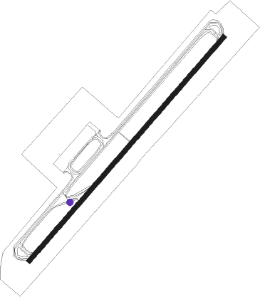
Corvera - Murcia Corvera
Airport details
| Country | Spain |
| State | Region of Murcia |
| Region | LE |
| Airspace | Barcelona Ctr |
| Municipality | Murcia |
| Elevation | 644ft (196m) |
| Timezone | GMT +1 |
| Coordinates | 37.80305, -1.12472 |
| Magnetic var | |
| Type | land |
| Available since | X-Plane v10.40 |
| ICAO code | LEMI |
| IATA code | RMU |
| FAA code | n/a |
Communication
| Murcia Corvera Ground Control | 121.750 |
| Murcia Corvera Tower | 121.325 |
| Murcia Corvera Approach | 130.300 |
| Murcia Corvera Departure | 133.000 |
Approach frequencies
| ILS-cat-I | RW23 | 111.75 | 18.00mi |
| 3° GS | RW23 | 111.75 | 18.00mi |
Nearby Points of Interest:
Windmills in Cartagena, Spain
-Basílica del Llano del Olivar
-Torre Llagostera
-Paseo del Malecón
-Palacio Episcopal de Murcia
-Vélez chapel
-Iglesia de Jesús
-Hospicio de Santa Florentina
-Palacio Vinader
-Casa Díaz Cassou
-Arco de Santo Domingo
-Palacio de San Esteban
-Casa de los Nueve Pisos
-Castillito de Los Dolores
-Villa Calamari
-Contraparada
-Fábrica de Fluido Eléctrico Hispania
-Casino of Cartagena
-Escuelas Graduadas de Cartagena
-City Hall of Cartagena, Spain
-Cartagena
-Antiguo Club de Regatas
-Mar Menor
-Apolo Theatre, El Algar
-Castle of Hisn Mola
Nearby beacons
| code | identifier | dist | bearing | frequency |
|---|---|---|---|---|
| MUR | MURCIA VOR/DME | 0.1 | 108° | 114.85 |
| TRL | ALCANTARILLA (MURCIA) TACAN | 10.1 | 324° | 116.60 |
| VSJ | SAN JAVIER VORTAC | 14.8 | 94° | 113 |
| AI | ALICANTE NDB | 36.8 | 43° | 330 |
| ALT | ALTET VOR/DME | 38.3 | 50° | 113.80 |
| ATE | ALICANTE VOR/DME | 38.5 | 48° | 114.65 |
Departure and arrival routes
| Transition altitude | 6000ft |
| Transition level | 6000ft |
| SID end points | distance | outbound heading | |
|---|---|---|---|
| RW05 | |||
| ALT1L | 38mi | 50° | |
| DINC1L | 34mi | 197° | |
| REST1L | 21mi | 284° | |
| RW23 | |||
| ALT1S | 38mi | 50° | |
| DINC1S | 34mi | 197° | |
| STAR starting points | distance | inbound heading | |
|---|---|---|---|
| RW05 | |||
| DINC1T | 33.7 | 17° | |
| BANS1T | 42.4 | 43° | |
| PALO1T | 31.1 | 291° | |
| RW23 | |||
| ALT1Q, ALT1T | 38.3 | 230° | |
| PALO1Q | 31.1 | 291° | |
Holding patterns
| STAR name | hold at | type | turn | heading* | altitude | leg | speed limit |
|---|---|---|---|---|---|---|---|
| ALT1Q | ALT | NDB | right | 280 (100)° | > 4500ft | 1.0min timed | ICAO rules |
| ALT1T | ALT | NDB | right | 280 (100)° | > 4500ft | 1.0min timed | ICAO rules |
| ALT1T | DITRE | VHF | left | 54 (234)° | > 4000ft | DME 5.0mi | ICAO rules |
| BANS1T | NERKU | VHF | left | 217 (37)° | > 5500ft | DME 5.0mi | ICAO rules |
| DINC1T | SANSI | VHF | right | 216 (36)° | > 3500ft | DME 4.1mi | 210 |
| PALO1Q | DITRE | VHF | left | 54 (234)° | > 4000ft | DME 5.0mi | ICAO rules |
| PALO1T | SANSI | VHF | right | 216 (36)° | > 3500ft | DME 4.1mi | 210 |
| *) magnetic outbound (inbound) holding course | |||||||
Disclaimer
The information on this website is not for real aviation. Use this data with the X-Plane flight simulator only! Data taken with kind consent from X-Plane 12 source code and data files. Content is subject to change without notice.