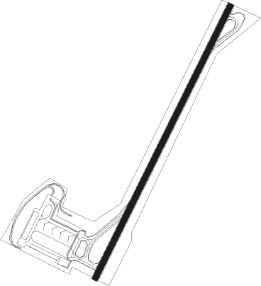
La Seu D'urgell Pyrenees And Andorra - La Seu D'urgell
Airport details
| Country | Spain |
| State | Catalonia |
| Region | LE |
| Airspace | Barcelona Ctr |
| Municipality | Ribera d'Urgellet |
| Elevation | 2624ft (800m) |
| Timezone | GMT +1 |
| Coordinates | 42.33738, 1.40241 |
| Magnetic var | |
| Type | land |
| Available since | X-Plane v10.40 |
| ICAO code | LESU |
| IATA code | LEU |
| FAA code | n/a |
Communication
| La Seu d'Urgell AFIS | 122.200 |
Nearby Points of Interest:
Santa Maria d'Adrall
-Central Tèrmica d'Adrall
-Antiga farinera de Montferrer
-Sant Esteve d'Aravell
-Sant Andreu de la Parròquia d'Hortó
-Sant Marc de Bellestar
-Sant Tirs del Pla de Sant Tirs
-La Ciutadella
-Sant Pere de Bellestar
-Torre Alsina
-Cal Nesqui
-Cal Llangot
-Sagrada Família d'Urgell
-Biblioteca Sant Agustí
-Cal Patalín
-Creu de Pal de Castellbò
-Mesures de la bladeria de la Seu d'Urgell
-Palau Episcopal de la Seu d'Urgell
-Deganat de la Seu d'Urgell
-Can Fiter
-Casa de la Ciutat
-Parador de la Seu d'Urgell
-Seminari Conciliar de la Seu d'Urgell
-Colomers de Castellbò
-Castell de Castellbò
Nearby beacons
| code | identifier | dist | bearing | frequency |
|---|---|---|---|---|
| SAL | SAINTE LEOCADIE NDB | 27.8 | 80° | 418 |
| PMR | PAMIERS NDB | 46.1 | 14° | 384 |
| LLE | ILERDA VOR/DME | 53.4 | 235° | 113.60 |
| LRD | LERIDA NDB | 57.9 | 224° | 404 |
| SLL | SABADELL VOR/DME | 58.3 | 139° | 112 |
| VLA | VILLAFRANCA VOR/DME | 60 | 172° | 113.15 |
| CS | CARCASSONNE SALVAZA NDB | 63.9 | 42° | 345 |
Departure and arrival routes
| Transition altitude | 6000ft |
| SID end points | distance | outbound heading | |
|---|---|---|---|
| RW21 | |||
| REBU1Z | 41mi | 204° | |
| STAR starting points | distance | inbound heading | |
|---|---|---|---|
| RW03 | |||
| REBU1F | 40.5 | 24° | |
| LATR1F | 35.3 | 339° | |
Instrument approach procedures
| runway | airway (heading) | route (dist, bearing) |
|---|---|---|
| RW03 | UPISA (22°) | UPISA 8000ft SU17S (9mi, 5°) 7300ft |
| RNAV | SU17S 7300ft SU09S (7mi, 32°) 7000ft SU06S (3mi, 32°) 5600ft SU04S (2mi, 32°) 4614ft SU400 (5mi, 32°) 5300ft SU06S (7mi, 212°) UPISA (19mi, 200°) 8000ft UPISA (turn) 8000ft |
Holding patterns
| STAR name | hold at | type | turn | heading* | altitude | leg | speed limit |
|---|---|---|---|---|---|---|---|
| LATR1F | UPISA | VHF | right | 183 (3)° | > 8000ft | 1.0min timed | 230 |
| REBU1F | UPISA | VHF | right | 183 (3)° | > 8000ft | 1.0min timed | 230 |
| *) magnetic outbound (inbound) holding course | |||||||
Disclaimer
The information on this website is not for real aviation. Use this data with the X-Plane flight simulator only! Data taken with kind consent from X-Plane 12 source code and data files. Content is subject to change without notice.
